Area Overview for B33 0XL
Photos of B33 0XL
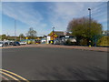
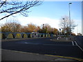
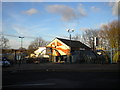
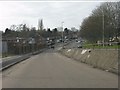
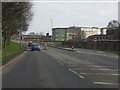
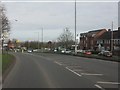
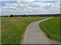
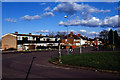
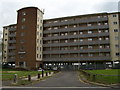
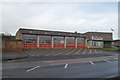
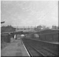
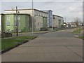
18 photos from this area
Area Information
Key information about the B33 0XL including its size, population, and administrative classification.
- Area Type
- Postcode
- Area Size
- 9771 m²
- Population
- 2016
- Population Density
- 5271 people/km²
House Prices in B33 0XL
32
Properties
£160,028
Average Sold Price
£32,000
Lowest Price
£880,000
Highest Price
Showing 32 properties
| Address | Type | Beds | Baths | Last Sale Price | Last Sale Date | |
|---|---|---|---|---|---|---|
| 34 Outmore Road, Birmingham, B33 0XL | house | - | - | £190,000 | Feb 2022 | |
| 80 Outmore Road, Birmingham, B33 0XL | Terraced | 2 | 1 | £165,000 | Jun 2021 | |
| 48 Outmore Road, Birmingham, B33 0XL | Terraced | 2 | 1 | £158,500 | Jun 2021 | |
| 60 Outmore Road, Birmingham, B33 0XL | Terraced | 3 | 1 | £160,000 | Jun 2019 | |
| 52 Outmore Road, Birmingham, B33 0XL | Terraced | 3 | 1 | £880,000 | Aug 2017 | |
| 70 Outmore Road, Birmingham, B33 0XL | Semi-detached | 2 | 1 | £122,000 | Oct 2016 | |
| 58 Outmore Road, Birmingham, B33 0XL | Semi-detached | 3 | - | £104,000 | Jan 2015 | |
| 84 Outmore Road, Birmingham, B33 0XL | house | 2 | - | £125,000 | Nov 2014 | |
| 88 Outmore Road, Birmingham, B33 0XL | Terraced | 3 | - | £105,000 | Aug 2013 | |
| 42 Outmore Road, Birmingham, B33 0XL | house | 3 | - | £81,500 | May 2013 |
Page 1 of 4
Energy Efficiency in B33 0XL
Amenities
Schools
| Rank | School | Type | Entry gender | Ages |
|---|
Explore more schools in this area
Go to Schools tabDemographics
Household Size
Family (3-5 people)
most common
Accommodation Type
Houses
most common
Tenure
54
majority
Ethnic Group
White
most common
Religion
N/A
most common
Household Composition
N/A
most common
Age
47
median
Adults (30-64 years)
most common
Household Deprivation
N/A
with no deprivation
NS-SEC
18
in Lower managerial occupations
Explore more demographic insights in this area
Go to Demographics tabPlanning
Planning Constraints
- Flood RiskPremium
- Ramsar Wetland SitesPremium
- Area of Outstanding Natural BeautyPremium
- Protected Nature ReservePremium
- Protected WoodlandPremium