Area Overview for B33 0XA
Photos of B33 0XA
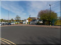
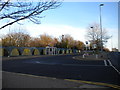
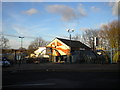
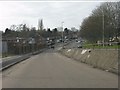
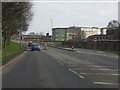
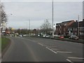
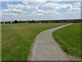
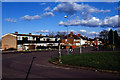
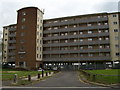
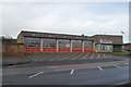
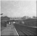
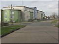
18 photos from this area
Area Information
Key information about the B33 0XA including its size, population, and administrative classification.
- Area Type
- Postcode
- Area Size
- 8337 m²
- Population
- 1993
- Population Density
- 5662 people/km²
House Prices in B33 0XA
15
Properties
£102,550
Average Sold Price
£62,200
Lowest Price
£125,000
Highest Price
Showing 15 properties
| Address | Type | Beds | Baths | Last Sale Price | Last Sale Date | |
|---|---|---|---|---|---|---|
| 98 Blakenhale Road, Birmingham, B33 0XA | house | 3 | - | £117,000 | Apr 2013 | |
| 94 Blakenhale Road, Birmingham, B33 0XA | house | 3 | - | £106,000 | Jul 2010 | |
| 86 Blakenhale Road, Birmingham, B33 0XA | Semi-detached | - | - | £125,000 | Jun 2007 | |
| 90 Blakenhale Road, Birmingham, B33 0XA | Semi-detached | - | - | £62,200 | Dec 2001 | |
| 99 Blakenhale Road, Birmingham, B33 0XA | Terraced | - | - | - | - | |
| 91 Blakenhale Road, Birmingham, B33 0XA | Terraced | - | - | - | - | |
| 100 Blakenhale Road, Birmingham, B33 0XA | Terraced | - | - | - | - | |
| 97 Blakenhale Road, Birmingham, B33 0XA | Bungalow | - | - | - | - | |
| 93 Blakenhale Road, Birmingham, B33 0XA | Bungalow | - | - | - | - | |
| 92 Blakenhale Road, Birmingham, B33 0XA | house | - | - | - | - |
Page 1 of 2
Energy Efficiency in B33 0XA
Amenities
Schools
| Rank | School | Type | Entry gender | Ages |
|---|
Explore more schools in this area
Go to Schools tabDemographics
Household Size
Family (3-5 people)
most common
Accommodation Type
Houses
most common
Tenure
59
majority
Ethnic Group
White
most common
Religion
N/A
most common
Household Composition
N/A
most common
Age
47
median
Adults (30-64 years)
most common
Household Deprivation
N/A
with no deprivation
NS-SEC
20
in Lower managerial occupations
Explore more demographic insights in this area
Go to Demographics tabPlanning
Planning Constraints
- Flood RiskPremium
- Ramsar Wetland SitesPremium
- Area of Outstanding Natural BeautyPremium
- Protected Nature ReservePremium
- Protected WoodlandPremium