Area Overview for B33 0QS
Photos of B33 0QS
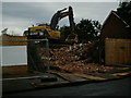
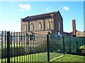
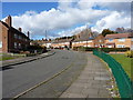
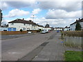
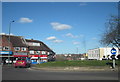
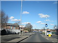
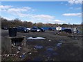
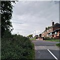
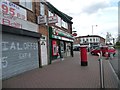
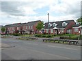
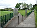
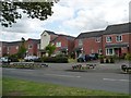
40 photos from this area
Area Information
Key information about the B33 0QS including its size, population, and administrative classification.
- Area Type
- Postcode
- Area Size
- 3.3 hectares
- Population
- 1963
- Population Density
- 2274 people/km²
House Prices in B33 0QS
30
Properties
£88,923
Average Sold Price
£38,000
Lowest Price
£220,000
Highest Price
Showing 30 properties
| Address | Type | Beds | Baths | Last Sale Price | Last Sale Date | |
|---|---|---|---|---|---|---|
| 104 Radleys Walk, Birmingham, B33 0QS | Terraced | 3 | 1 | £220,000 | May 2024 | |
| 22 Radleys Walk, Birmingham, B33 0QS | house | - | - | £170,000 | Nov 2022 | |
| 18 Radleys Walk, Birmingham, B33 0QS | house | - | - | £136,000 | Sep 2019 | |
| 24 Radleys Walk, Birmingham, B33 0QS | house | - | - | £80,000 | Jan 2019 | |
| 86 Radleys Walk, Birmingham, B33 0QS | Flat | - | - | £47,500 | Nov 2014 | |
| 84 Radleys Walk, Birmingham, B33 0QS | Flat | - | - | £62,500 | Aug 2011 | |
| 66 Radleys Walk, Birmingham, B33 0QS | Terraced | 3 | 1 | £80,000 | Apr 2011 | |
| 88 Radleys Walk, Birmingham, B33 0QS | Flat | - | - | £65,000 | Dec 2006 | |
| 48 Radleys Walk, Birmingham, B33 0QS | Terraced | 3 | 2 | £76,000 | Jul 2003 | |
| 52 Radleys Walk, Birmingham, B33 0QS | Terraced | - | - | £83,500 | Feb 2003 |
Page 1 of 3
Energy Efficiency in B33 0QS
Amenities
Schools
| Rank | School | Type | Entry gender | Ages |
|---|
Explore more schools in this area
Go to Schools tabDemographics
Household Size
Family (3-5 people)
most common
Accommodation Type
Houses
most common
Tenure
27
majority
Ethnic Group
White
most common
Religion
N/A
most common
Household Composition
N/A
most common
Age
47
median
Adults (30-64 years)
most common
Household Deprivation
N/A
with no deprivation
NS-SEC
13
in Lower managerial occupations
Explore more demographic insights in this area
Go to Demographics tabPlanning
Planning Constraints
- Flood RiskPremium
- Ramsar Wetland SitesPremium
- Area of Outstanding Natural BeautyPremium
- Protected Nature ReservePremium
- Protected WoodlandPremium