Area Overview for B32 4AS
Photos of B32 4AS
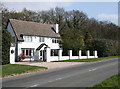

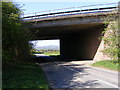
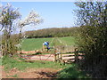
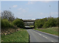
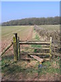
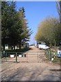
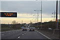

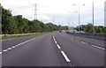
24 photos from this area
Area Information
Key information about the B32 4AS including its size, population, and administrative classification.
- Area Type
- Postcode
- Area Size
- 37.6 hectares
- Population
- 1154
- Population Density
- 66 people/km²
House Prices in B32 4AS
20
Properties
£272,944
Average Sold Price
£90,000
Lowest Price
£585,000
Highest Price
Showing 20 properties
| Address | Type | Beds | Baths | Last Sale Price | Last Sale Date | |
|---|---|---|---|---|---|---|
| Ravenhurst, Frankley Green Lane, Frankley, B32 4AS | Detached | 5 | 2 | £585,000 | Mar 2022 | |
| 16 Frankley Green, Frankley, B32 4AS | Semi-detached | 3 | 2 | £270,000 | Oct 2019 | |
| Oak Dene, Frankley Green Lane, Frankley, B32 4AS | Detached | 4 | 1 | £367,500 | Jan 2019 | |
| 17 Frankley Green, Frankley, B32 4AS | Semi-detached | 3 | 1 | £236,000 | Jul 2017 | |
| The Nique, Frankley Green Lane, Frankley, B32 4AS | Detached | 4 | 2 | £278,000 | May 2009 | |
| Park House, Frankley Green, Frankley, B32 4AS | Detached | - | - | £320,000 | Nov 2005 | |
| 9 Frankley Green Lane, Frankley, B32 4AS | Semi-detached | - | - | £175,000 | Jan 2005 | |
| 14 Frankley Green, Frankley, B32 4AS | Semi-detached | - | - | £135,000 | Jun 2003 | |
| 15 Frankley Green, Frankley, B32 4AS | Semi-detached | 2 | 1 | £90,000 | Jul 1995 | |
| 18 Frankley Green, Frankley, B32 4AS | Semi-detached | 2 | 1 | - | - |
Page 1 of 2
Energy Efficiency in B32 4AS
Amenities
Schools
| Rank | School | Type | Entry gender | Ages |
|---|
Explore more schools in this area
Go to Schools tabDemographics
Household Size
Two person
most common
Accommodation Type
Houses
most common
Tenure
87
majority
Ethnic Group
White
most common
Religion
N/A
most common
Household Composition
N/A
most common
Age
47
median
Adults (30-64 years)
most common
Household Deprivation
N/A
with no deprivation
NS-SEC
40
in Lower managerial occupations
Explore more demographic insights in this area
Go to Demographics tabPlanning
Planning Constraints
- Flood RiskPremium
- Ramsar Wetland SitesPremium
- Area of Outstanding Natural BeautyPremium
- Protected Nature ReservePremium
- Protected WoodlandPremium