Area Overview for B32 3XD
Photos of B32 3XD
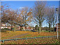
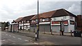
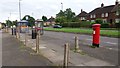
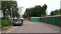
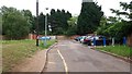
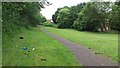
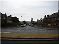
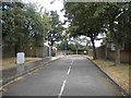
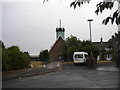
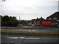
29 photos from this area
Area Information
Key information about the B32 3XD including its size, population, and administrative classification.
- Area Type
- Postcode
- Area Size
- 6164 m²
- Population
- 1640
- Population Density
- 2561 people/km²
House Prices in B32 3XD
11
Properties
£255,250
Average Sold Price
£127,000
Lowest Price
£385,000
Highest Price
Showing 11 properties
| Address | Type | Beds | Baths | Last Sale Price | Last Sale Date | |
|---|---|---|---|---|---|---|
| 15 Dunnigan Road, Birmingham, B32 3XD | Bungalow | 2 | 1 | £385,000 | Apr 2024 | |
| 17 Dunnigan Road, Birmingham, B32 3XD | Bungalow | - | - | £325,000 | Nov 2021 | |
| 35 Dunnigan Road, Birmingham, B32 3XD | Bungalow | - | - | £290,000 | Feb 2018 | |
| 41 Dunnigan Road, Birmingham, B32 3XD | Bungalow | 2 | 1 | £250,000 | May 2017 | |
| 33 Dunnigan Road, Birmingham, B32 3XD | Bungalow | 2 | - | £240,000 | Feb 2017 | |
| 29 Dunnigan Road, Birmingham, B32 3XD | Bungalow | 2 | - | £225,000 | Mar 2014 | |
| 31 Dunnigan Road, Birmingham, B32 3XD | Bungalow | - | - | £200,000 | May 2011 | |
| 25 Dunnigan Road, Birmingham, B32 3XD | Detached | - | - | £127,000 | Nov 1999 | |
| 27 Dunnigan Road, Birmingham, B32 3XD | Bungalow | - | - | - | - | |
| 19 Dunnigan Road, Birmingham, B32 3XD | Detached | - | - | - | - |
Page 1 of 2
Energy Efficiency in B32 3XD
Amenities
Schools
| Rank | School | Type | Entry gender | Ages |
|---|
Explore more schools in this area
Go to Schools tabDemographics
Household Size
One person
most common
Accommodation Type
Houses
most common
Tenure
53
majority
Ethnic Group
White
most common
Religion
N/A
most common
Household Composition
N/A
most common
Age
47
median
Adults (30-64 years)
most common
Household Deprivation
N/A
with no deprivation
NS-SEC
29
in Lower managerial occupations
Explore more demographic insights in this area
Go to Demographics tabPlanning
Planning Constraints
- Flood RiskPremium
- Ramsar Wetland SitesPremium
- Area of Outstanding Natural BeautyPremium
- Protected Nature ReservePremium
- Protected WoodlandPremium