Area Overview for B32 3TP
Photos of B32 3TP
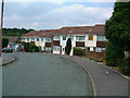
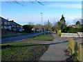
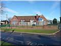
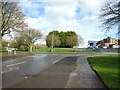
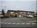
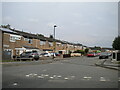
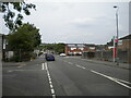
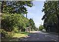
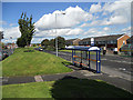
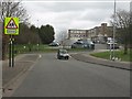
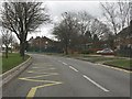
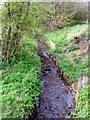
19 photos from this area
Area Information
Key information about the B32 3TP including its size, population, and administrative classification.
- Area Type
- Postcode
- Area Size
- 1.6 hectares
- Population
- 1748
- Population Density
- 4226 people/km²
House Prices in B32 3TP
33
Properties
£108,133
Average Sold Price
£48,500
Lowest Price
£176,000
Highest Price
Showing 33 properties
| Address | Type | Beds | Baths | Last Sale Price | Last Sale Date | |
|---|---|---|---|---|---|---|
| 17 Foredraft Close, Birmingham, B32 3TP | Terraced | 2 | 1 | £150,000 | Jun 2025 | |
| 19 Foredraft Close, Birmingham, B32 3TP | Retail | 2 | 1 | £176,000 | Sep 2022 | |
| 53 Foredraft Close, Birmingham, B32 3TP | house | - | - | £138,000 | Dec 2020 | |
| 59 Foredraft Close, Birmingham, B32 3TP | Flat | - | - | £68,000 | May 2018 | |
| 15 Foredraft Close, Birmingham, B32 3TP | Terraced | 2 | - | £105,000 | Feb 2018 | |
| 9 Foredraft Close, Birmingham, B32 3TP | Terraced | 3 | - | £105,000 | Jun 2015 | |
| 47 Foredraft Close, Birmingham, B32 3TP | Terraced | 3 | 2 | £110,000 | Aug 2007 | |
| 41 Foredraft Close, Birmingham, B32 3TP | Terraced | - | - | £72,700 | Jul 2006 | |
| 49 Foredraft Close, Birmingham, B32 3TP | Terraced | 3 | 1 | £48,500 | Nov 2001 | |
| 1 Foredraft Close, Birmingham, B32 3TP | Terraced | - | - | - | - |
Page 1 of 4
Energy Efficiency in B32 3TP
Amenities
Schools
| Rank | School | Type | Entry gender | Ages |
|---|
Explore more schools in this area
Go to Schools tabDemographics
Household Size
Family (3-5 people)
most common
Accommodation Type
Houses
most common
Tenure
35
majority
Ethnic Group
White
most common
Religion
N/A
most common
Household Composition
N/A
most common
Age
47
median
Adults (30-64 years)
most common
Household Deprivation
N/A
with no deprivation
NS-SEC
18
in Lower managerial occupations
Explore more demographic insights in this area
Go to Demographics tabPlanning
Planning Constraints
- Flood RiskPremium
- Ramsar Wetland SitesPremium
- Area of Outstanding Natural BeautyPremium
- Protected Nature ReservePremium
- Protected WoodlandPremium