Area Overview for B32 3SS
Photos of B32 3SS
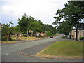
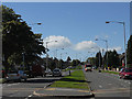
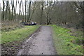
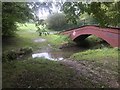
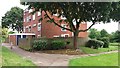
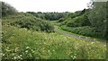
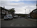
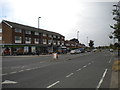
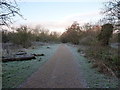
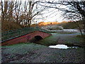
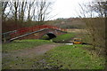
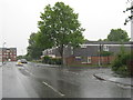
19 photos from this area
Area Information
Key information about the B32 3SS including its size, population, and administrative classification.
- Area Type
- Postcode
- Area Size
- 9761 m²
- Population
- 1447
- Population Density
- 2305 people/km²
House Prices in B32 3SS
34
Properties
£97,900
Average Sold Price
£19,000
Lowest Price
£182,000
Highest Price
Showing 34 properties
| Address | Type | Beds | Baths | Last Sale Price | Last Sale Date | |
|---|---|---|---|---|---|---|
| 25 Middlehill Rise, Birmingham, B32 3SS | Terraced | 3 | 1 | £182,000 | Dec 2023 | |
| 23 Middlehill Rise, Birmingham, B32 3SS | Terraced | 2 | 2 | £173,000 | Jul 2021 | |
| 20 Middlehill Rise, Birmingham, B32 3SS | house | - | - | £156,000 | Mar 2021 | |
| 16 Middlehill Rise, Birmingham, B32 3SS | house | 3 | - | £141,000 | Sep 2018 | |
| 24 Middlehill Rise, Birmingham, B32 3SS | Terraced | 3 | 1 | £118,000 | May 2018 | |
| 9 Middlehill Rise, Birmingham, B32 3SS | Terraced | 4 | - | £110,000 | Aug 2015 | |
| 15 Middlehill Rise, Birmingham, B32 3SS | Semi-detached | 2 | - | £93,000 | Dec 2012 | |
| 32 Middlehill Rise, Birmingham, B32 3SS | Maisonette | 3 | 1 | £82,000 | Jan 2008 | |
| 27 Middlehill Rise, Birmingham, B32 3SS | Terraced | 3 | 1 | £110,000 | Mar 2006 | |
| 29 Middlehill Rise, Birmingham, B32 3SS | Terraced | 2 | 1 | £97,000 | Mar 2006 |
Page 1 of 4
Energy Efficiency in B32 3SS
Amenities
Schools
| Rank | School | Type | Entry gender | Ages |
|---|
Explore more schools in this area
Go to Schools tabDemographics
Household Size
One person
most common
Accommodation Type
Houses
most common
Tenure
44
majority
Ethnic Group
White
most common
Religion
N/A
most common
Household Composition
N/A
most common
Age
47
median
Adults (30-64 years)
most common
Household Deprivation
N/A
with no deprivation
NS-SEC
21
in Lower managerial occupations
Explore more demographic insights in this area
Go to Demographics tabPlanning
Planning Constraints
- Flood RiskPremium
- Ramsar Wetland SitesPremium
- Area of Outstanding Natural BeautyPremium
- Protected Nature ReservePremium
- Protected WoodlandPremium