Area Overview for B32 3HS
Photos of B32 3HS
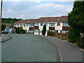
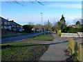
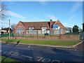
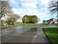
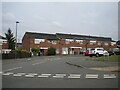
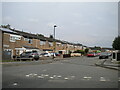
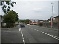
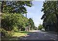
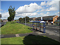
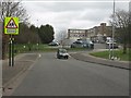
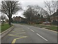
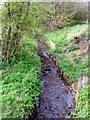
19 photos from this area
Area Information
Key information about the B32 3HS including its size, population, and administrative classification.
- Area Type
- Postcode
- Area Size
- 8199 m²
- Population
- 1312
- Population Density
- 3140 people/km²
House Prices in B32 3HS
30
Properties
£120,886
Average Sold Price
£48,500
Lowest Price
£230,000
Highest Price
Showing 30 properties
| Address | Type | Beds | Baths | Last Sale Price | Last Sale Date | |
|---|---|---|---|---|---|---|
| 18 Ambleside, Birmingham, B32 3HS | Semi-detached | 3 | 2 | £225,000 | Jan 2023 | |
| 26 Ambleside, Birmingham, B32 3HS | house | - | - | £230,000 | Jun 2022 | |
| 52 Ambleside, Birmingham, B32 3HS | house | - | - | £160,000 | Mar 2020 | |
| 2 Ambleside, Birmingham, B32 3HS | Semi-detached | 3 | 1 | £210,000 | Mar 2019 | |
| 62 Ambleside, Birmingham, B32 3HS | Semi-detached | 3 | 1 | £139,500 | Aug 2017 | |
| 66 Ambleside, Birmingham, B32 3HS | Semi-detached | 3 | 1 | £115,000 | Sep 2016 | |
| 56 Ambleside, Birmingham, B32 3HS | Terraced | 3 | 1 | £135,000 | Sep 2015 | |
| 68 Ambleside, Birmingham, B32 3HS | Semi-detached | 3 | - | £129,500 | Aug 2015 | |
| 16 Ambleside, Birmingham, B32 3HS | house | - | - | £110,000 | Mar 2014 | |
| 60 Ambleside, Birmingham, B32 3HS | Semi-detached | - | - | £124,500 | Jan 2008 |
Page 1 of 3
Energy Efficiency in B32 3HS
Amenities
Schools
| Rank | School | Type | Entry gender | Ages |
|---|
Explore more schools in this area
Go to Schools tabDemographics
Household Size
Family (3-5 people)
most common
Accommodation Type
Houses
most common
Tenure
78
majority
Ethnic Group
White
most common
Religion
N/A
most common
Household Composition
N/A
most common
Age
47
median
Adults (30-64 years)
most common
Household Deprivation
N/A
with no deprivation
NS-SEC
27
in Lower managerial occupations
Explore more demographic insights in this area
Go to Demographics tabPlanning
Planning Constraints
- Flood RiskPremium
- Ramsar Wetland SitesPremium
- Area of Outstanding Natural BeautyPremium
- Protected Nature ReservePremium
- Protected WoodlandPremium