Area Overview for B32 3EU
Photos of B32 3EU
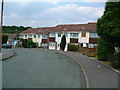
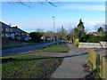
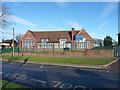
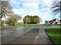
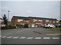
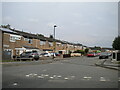
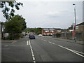
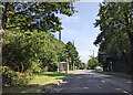
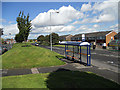
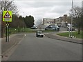
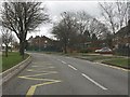
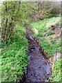
19 photos from this area
Area Information
Key information about the B32 3EU including its size, population, and administrative classification.
- Area Type
- Postcode
- Area Size
- 1.1 hectares
- Population
- 2552
- Population Density
- 2728 people/km²
House Prices in B32 3EU
39
Properties
£143,863
Average Sold Price
£89,950
Lowest Price
£185,000
Highest Price
Showing 39 properties
| Address | Type | Beds | Baths | Last Sale Price | Last Sale Date | |
|---|---|---|---|---|---|---|
| 9 Kingsbridge Road, Birmingham, B32 3EU | house | 3 | - | £185,000 | Sep 2025 | |
| 15 Kingsbridge Road, Birmingham, B32 3EU | Terraced | 3 | 1 | £181,000 | Mar 2023 | |
| 97 Kingsbridge Road, Birmingham, B32 3EU | Terraced | 3 | 1 | £175,000 | May 2022 | |
| 101 Kingsbridge Road, Birmingham, B32 3EU | house | - | - | £165,000 | Sep 2021 | |
| 11 Kingsbridge Road, Birmingham, B32 3EU | Terraced | 3 | 1 | £120,000 | Mar 2018 | |
| 19 Kingsbridge Road, Birmingham, B32 3EU | house | - | - | £129,950 | Jul 2017 | |
| 21 Kingsbridge Road, Birmingham, B32 3EU | house | 3 | - | £89,950 | Apr 2012 | |
| 93 Kingsbridge Road, Birmingham, B32 3EU | Semi-detached | - | - | £105,000 | Oct 2008 | |
| 17 Kingsbridge Road, Birmingham, B32 3EU | Terraced | 3 | 1 | - | - | |
| Flat, 1-3 Kingsbridge Road, Birmingham, B32 3EU | retail_financial | - | - | - | - |
Page 1 of 4
Energy Efficiency in B32 3EU
Amenities
Schools
| Rank | School | Type | Entry gender | Ages |
|---|
Explore more schools in this area
Go to Schools tabDemographics
Household Size
One person
most common
Accommodation Type
Houses
most common
Tenure
40
majority
Ethnic Group
White
most common
Religion
N/A
most common
Household Composition
N/A
most common
Age
47
median
Adults (30-64 years)
most common
Household Deprivation
N/A
with no deprivation
NS-SEC
18
in Lower managerial occupations
Explore more demographic insights in this area
Go to Demographics tabPlanning
Planning Constraints
- Flood RiskPremium
- Ramsar Wetland SitesPremium
- Area of Outstanding Natural BeautyPremium
- Protected Nature ReservePremium
- Protected WoodlandPremium