Area Overview for B32 2SN
Photos of B32 2SN
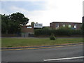
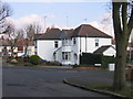
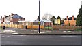
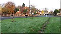
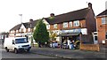
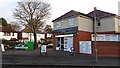

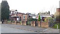
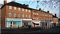
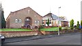
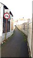
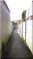
27 photos from this area
Area Information
Key information about the B32 2SN including its size, population, and administrative classification.
- Area Type
- Postcode
- Area Size
- 6642 m²
- Population
- 1543
- Population Density
- 6428 people/km²
House Prices in B32 2SN
17
Properties
£139,994
Average Sold Price
£40,000
Lowest Price
£241,000
Highest Price
Showing 17 properties
| Address | Type | Beds | Baths | Last Sale Price | Last Sale Date | |
|---|---|---|---|---|---|---|
| 254 Worlds End Lane, Birmingham, B32 2SN | Semi-detached | 3 | 1 | £241,000 | Jun 2024 | |
| 266 Worlds End Lane, Birmingham, B32 2SN | Semi-detached | 3 | 1 | £205,000 | Jun 2023 | |
| 268 Worlds End Lane, Birmingham, B32 2SN | house | 3 | 1 | £180,000 | Jul 2021 | |
| 258 Worlds End Lane, Birmingham, B32 2SN | Semi-detached | 3 | 1 | £135,000 | Dec 2017 | |
| 272 Worlds End Lane, Birmingham, B32 2SN | house | 3 | - | £135,000 | Mar 2016 | |
| 248 Worlds End Lane, Birmingham, B32 2SN | Semi-detached | 3 | - | £99,000 | May 2012 | |
| 276 Worlds End Lane, Birmingham, B32 2SN | house | - | - | £84,950 | Mar 2001 | |
| 246 Worlds End Lane, Birmingham, B32 2SN | Terraced | - | - | £40,000 | Sep 1995 | |
| 274 Worlds End Lane, Birmingham, B32 2SN | house | - | - | - | - | |
| 278 Worlds End Lane, Birmingham, B32 2SN | Detached | - | - | - | - |
Page 1 of 2
Energy Efficiency in B32 2SN
Amenities
Schools
| Rank | School | Type | Entry gender | Ages |
|---|
Explore more schools in this area
Go to Schools tabDemographics
Household Size
Family (3-5 people)
most common
Accommodation Type
Houses
most common
Tenure
61
majority
Ethnic Group
White
most common
Religion
N/A
most common
Household Composition
N/A
most common
Age
47
median
Adults (30-64 years)
most common
Household Deprivation
N/A
with no deprivation
NS-SEC
26
in Lower managerial occupations
Explore more demographic insights in this area
Go to Demographics tabPlanning
Planning Constraints
- Flood RiskPremium
- Ramsar Wetland SitesPremium
- Area of Outstanding Natural BeautyPremium
- Protected Nature ReservePremium
- Protected WoodlandPremium