Area Overview for B32 1EL
Photos of B32 1EL
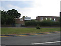
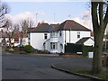
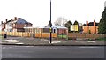
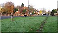
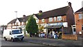
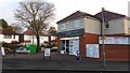
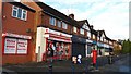
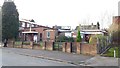
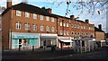
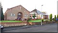
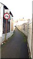
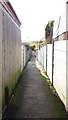
27 photos from this area
Area Information
Key information about the B32 1EL including its size, population, and administrative classification.
- Area Type
- Postcode
- Area Size
- 1.0 hectares
- Population
- 1490
- Population Density
- 5845 people/km²
House Prices in B32 1EL
25
Properties
£192,033
Average Sold Price
£46,500
Lowest Price
£365,000
Highest Price
Showing 25 properties
| Address | Type | Beds | Baths | Last Sale Price | Last Sale Date | |
|---|---|---|---|---|---|---|
| 49 Ridgacre Lane, Birmingham, B32 1EL | Semi-detached | 4 | 2 | £365,000 | Oct 2023 | |
| 63 Ridgacre Lane, Birmingham, B32 1EL | house | - | - | £260,000 | Jan 2022 | |
| 17 Ridgacre Lane, Birmingham, B32 1EL | house | - | - | £255,000 | Jul 2021 | |
| 45 Ridgacre Lane, Birmingham, B32 1EL | house | - | - | £290,000 | Jul 2021 | |
| 41 Ridgacre Lane, Birmingham, B32 1EL | Semi-detached | 3 | 1 | £260,000 | Mar 2019 | |
| 29 Ridgacre Lane, Birmingham, B32 1EL | Semi-detached | 4 | - | £248,000 | Sep 2015 | |
| 35 Ridgacre Lane, Birmingham, B32 1EL | house | - | - | £210,000 | Oct 2008 | |
| 57 Ridgacre Lane, Birmingham, B32 1EL | Semi-detached | - | - | £190,000 | Oct 2006 | |
| 37 Ridgacre Lane, Birmingham, B32 1EL | Semi-detached | - | - | £188,500 | Aug 2006 | |
| 55 Ridgacre Lane, Birmingham, B32 1EL | Terraced | - | - | £179,000 | Jul 2004 |
Page 1 of 3
Energy Efficiency in B32 1EL
Amenities
Schools
| Rank | School | Type | Entry gender | Ages |
|---|
Explore more schools in this area
Go to Schools tabDemographics
Household Size
Two person
most common
Accommodation Type
Houses
most common
Tenure
81
majority
Ethnic Group
White
most common
Religion
N/A
most common
Household Composition
N/A
most common
Age
47
median
Adults (30-64 years)
most common
Household Deprivation
N/A
with no deprivation
NS-SEC
45
in Lower managerial occupations
Explore more demographic insights in this area
Go to Demographics tabPlanning
Planning Constraints
- Flood RiskPremium
- Ramsar Wetland SitesPremium
- Area of Outstanding Natural BeautyPremium
- Protected Nature ReservePremium
- Protected WoodlandPremium