Area Overview for B31 5EL
Photos of B31 5EL
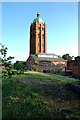
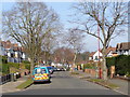
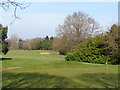
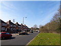
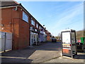
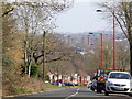
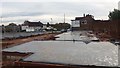
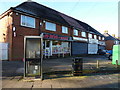
18 photos from this area
Area Information
Key information about the B31 5EL including its size, population, and administrative classification.
- Area Type
- Postcode
- Area Size
- 5870 m²
- Population
- 2282
- Population Density
- 2835 people/km²
House Prices in B31 5EL
20
Properties
£180,293
Average Sold Price
£66,500
Lowest Price
£310,000
Highest Price
Showing 20 properties
| Address | Type | Beds | Baths | Last Sale Price | Last Sale Date | |
|---|---|---|---|---|---|---|
| 30 Woodcock Close, Birmingham, B31 5EL | Detached | 3 | 1 | £310,000 | Feb 2024 | |
| 22 Woodcock Close, Birmingham, B31 5EL | Detached | 3 | 2 | £310,000 | Dec 2022 | |
| 38 Woodcock Close, Birmingham, B31 5EL | Terraced | 3 | 2 | £218,000 | Nov 2019 | |
| 10 Woodcock Close, Birmingham, B31 5EL | Detached | 4 | 2 | £280,000 | Nov 2019 | |
| 42 Woodcock Close, Birmingham, B31 5EL | Terraced | 3 | 1 | £190,000 | Oct 2019 | |
| 32 Woodcock Close, Birmingham, B31 5EL | Detached | 3 | 1 | £255,000 | Aug 2019 | |
| 44 Woodcock Close, Birmingham, B31 5EL | Terraced | 3 | 1 | £190,000 | Jun 2019 | |
| 14 Woodcock Close, Birmingham, B31 5EL | house | 3 | - | £190,000 | Jun 2017 | |
| 4 Woodcock Close, Birmingham, B31 5EL | Detached | 4 | - | £260,000 | Dec 2015 | |
| 26 Woodcock Close, Birmingham, B31 5EL | house | 3 | - | £171,000 | Sep 2011 |
Page 1 of 2
Energy Efficiency in B31 5EL
Amenities
Schools
| Rank | School | Type | Entry gender | Ages |
|---|
Explore more schools in this area
Go to Schools tabDemographics
Household Size
Family (3-5 people)
most common
Accommodation Type
Houses
most common
Tenure
74
majority
Ethnic Group
White
most common
Religion
N/A
most common
Household Composition
N/A
most common
Age
47
median
Adults (30-64 years)
most common
Household Deprivation
N/A
with no deprivation
NS-SEC
36
in Lower managerial occupations
Explore more demographic insights in this area
Go to Demographics tabPlanning
Planning Constraints
- Flood RiskPremium
- Ramsar Wetland SitesPremium
- Area of Outstanding Natural BeautyPremium
- Protected Nature ReservePremium
- Protected WoodlandPremium