Area Overview for B31 5DX
Photos of B31 5DX
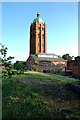
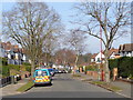
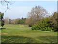
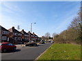
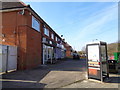
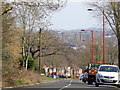
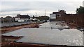
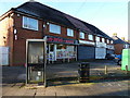
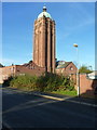
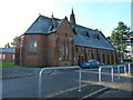
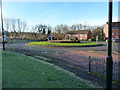
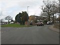
18 photos from this area
Area Information
Key information about the B31 5DX including its size, population, and administrative classification.
- Area Type
- Postcode
- Area Size
- 1.3 hectares
- Population
- 2256
- Population Density
- 3167 people/km²
House Prices in B31 5DX
34
Properties
£113,408
Average Sold Price
£44,700
Lowest Price
£195,000
Highest Price
Showing 34 properties
| Address | Type | Beds | Baths | Last Sale Price | Last Sale Date | |
|---|---|---|---|---|---|---|
| 77 Sovereign Heights, Birmingham, B31 5DX | Terraced | 2 | 1 | £195,000 | Sep 2025 | |
| 43 Sovereign Heights, Birmingham, B31 5DX | Terraced | 1 | 1 | £121,500 | Apr 2020 | |
| 53 Sovereign Heights, Birmingham, B31 5DX | Terraced | 2 | 1 | £142,000 | Oct 2019 | |
| 71 Sovereign Heights, Birmingham, B31 5DX | Terraced | 3 | 1 | £158,000 | Feb 2019 | |
| 69 Sovereign Heights, Birmingham, B31 5DX | Terraced | 3 | 1 | £143,000 | May 2018 | |
| 73 Sovereign Heights, Birmingham, B31 5DX | Terraced | 3 | 1 | £142,000 | Feb 2017 | |
| 45 Sovereign Heights, Birmingham, B31 5DX | Terraced | 2 | 1 | £136,950 | Dec 2016 | |
| 41 Sovereign Heights, Birmingham, B31 5DX | Detached | 1 | 1 | £90,500 | Apr 2015 | |
| 61 Sovereign Heights, Birmingham, B31 5DX | Semi-detached | - | - | £102,000 | Nov 2007 | |
| 79 Sovereign Heights, Birmingham, B31 5DX | Terraced | 2 | 1 | £125,000 | Jul 2007 |
Page 1 of 4
Energy Efficiency in B31 5DX
Amenities
Schools
| Rank | School | Type | Entry gender | Ages |
|---|
Explore more schools in this area
Go to Schools tabDemographics
Household Size
Family (3-5 people)
most common
Accommodation Type
Houses
most common
Tenure
49
majority
Ethnic Group
White
most common
Religion
N/A
most common
Household Composition
N/A
most common
Age
47
median
Adults (30-64 years)
most common
Household Deprivation
N/A
with no deprivation
NS-SEC
26
in Lower managerial occupations
Explore more demographic insights in this area
Go to Demographics tabPlanning
Planning Constraints
- Flood RiskPremium
- Ramsar Wetland SitesPremium
- Area of Outstanding Natural BeautyPremium
- Protected Nature ReservePremium
- Protected WoodlandPremium