Area Overview for B31 4HA
Photos of B31 4HA
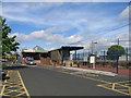

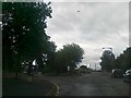

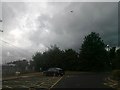
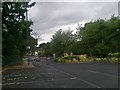
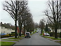
65 photos from this area
Area Information
Key information about the B31 4HA including its size, population, and administrative classification.
- Area Type
- Postcode
- Area Size
- 7132 m²
- Population
- 2044
- Population Density
- 4633 people/km²
House Prices in B31 4HA
9
Properties
£134,438
Average Sold Price
£56,000
Lowest Price
£250,000
Highest Price
Showing 9 properties
| Address | Type | Beds | Baths | Last Sale Price | Last Sale Date | |
|---|---|---|---|---|---|---|
| 7 The Oak Walk, Birmingham, B31 4HA | Semi-detached | 3 | 1 | £250,000 | Jun 2023 | |
| 5 The Oak Walk, Birmingham, B31 4HA | Semi-detached | 3 | - | £160,000 | Apr 2017 | |
| 2A The Oak Walk, Birmingham, B31 4HA | house | - | - | £148,000 | May 2015 | |
| 3 The Oak Walk, Birmingham, B31 4HA | house | - | - | £105,000 | May 2010 | |
| 4 The Oak Walk, Birmingham, B31 4HA | Semi-detached | 3 | 2 | £157,000 | Dec 2006 | |
| 9 The Oak Walk, Birmingham, B31 4HA | Detached | 3 | 1 | £104,500 | May 2002 | |
| 2 The Oak Walk, Birmingham, B31 4HA | Detached | - | - | £95,000 | Oct 2001 | |
| 1 The Oak Walk, Birmingham, B31 4HA | Detached | 4 | 2 | £56,000 | Jun 1999 | |
| The Woodpecker Public House, The Oak Walk, Birmingham, B31 4HA | Leisure | - | - | - | - |
Energy Efficiency in B31 4HA
Amenities
Schools
| Rank | School | Type | Entry gender | Ages |
|---|
Explore more schools in this area
Go to Schools tabDemographics
Household Size
One person
most common
Accommodation Type
Houses
most common
Tenure
54
majority
Ethnic Group
White
most common
Religion
N/A
most common
Household Composition
N/A
most common
Age
47
median
Adults (30-64 years)
most common
Household Deprivation
N/A
with no deprivation
NS-SEC
28
in Lower managerial occupations
Explore more demographic insights in this area
Go to Demographics tabPlanning
Planning Constraints
- Flood RiskPremium
- Ramsar Wetland SitesPremium
- Area of Outstanding Natural BeautyPremium
- Protected Nature ReservePremium
- Protected WoodlandPremium