Area Overview for B31 4DP
Photos of B31 4DP
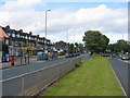


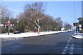
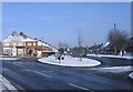
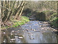
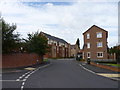
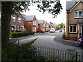

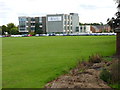
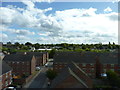
83 photos from this area
Area Information
Key information about the B31 4DP including its size, population, and administrative classification.
- Area Type
- Postcode
- Area Size
- 6776 m²
- Population
- 1608
- Population Density
- 4295 people/km²
House Prices in B31 4DP
16
Properties
£127,794
Average Sold Price
£22,000
Lowest Price
£300,000
Highest Price
Showing 16 properties
| Address | Type | Beds | Baths | Last Sale Price | Last Sale Date | |
|---|---|---|---|---|---|---|
| 15 Coney Green Drive, Birmingham, B31 4DP | house | 4 | 2 | £300,000 | Jun 2025 | |
| 7 Coney Green Drive, Birmingham, B31 4DP | Bungalow | 2 | 1 | £145,000 | Jan 2020 | |
| 9 Coney Green Drive, Birmingham, B31 4DP | Bungalow | 3 | 1 | £160,000 | Dec 2018 | |
| 10 Coney Green Drive, Birmingham, B31 4DP | Bungalow | - | - | £115,000 | Sep 2016 | |
| 2 Coney Green Drive, Birmingham, B31 4DP | Bungalow | 3 | 1 | £136,500 | Dec 2006 | |
| 11 Coney Green Drive, Birmingham, B31 4DP | Detached | 2 | 1 | £135,000 | Oct 2006 | |
| 3 Coney Green Drive, Birmingham, B31 4DP | Semi-detached | - | - | £142,500 | Jan 2004 | |
| 14 Coney Green Drive, Birmingham, B31 4DP | Semi-detached | 4 | 1 | £134,000 | Jul 2003 | |
| 6 Coney Green Drive, Birmingham, B31 4DP | Detached | - | - | £63,500 | Jun 2000 | |
| 8 Coney Green Drive, Birmingham, B31 4DP | Detached | - | - | £52,238 | Sep 1999 |
Page 1 of 2
Energy Efficiency in B31 4DP
Amenities
Schools
| Rank | School | Type | Entry gender | Ages |
|---|
Explore more schools in this area
Go to Schools tabDemographics
Household Size
Two person
most common
Accommodation Type
Houses
most common
Tenure
66
majority
Ethnic Group
White
most common
Religion
N/A
most common
Household Composition
N/A
most common
Age
47
median
Adults (30-64 years)
most common
Household Deprivation
N/A
with no deprivation
NS-SEC
26
in Lower managerial occupations
Explore more demographic insights in this area
Go to Demographics tabPlanning
Planning Constraints
- Flood RiskPremium
- Ramsar Wetland SitesPremium
- Area of Outstanding Natural BeautyPremium
- Protected Nature ReservePremium
- Protected WoodlandPremium