Area Overview for B31 3TS
Photos of B31 3TS
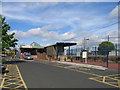
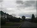
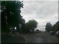

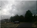
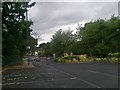
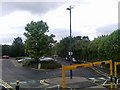
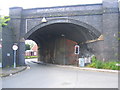
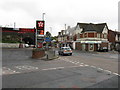
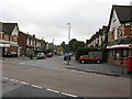
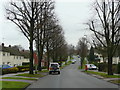
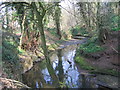
65 photos from this area
Area Information
Key information about the B31 3TS including its size, population, and administrative classification.
- Area Type
- Postcode
- Area Size
- 9383 m²
- Population
- 1818
- Population Density
- 6215 people/km²
House Prices in B31 3TS
30
Properties
£153,517
Average Sold Price
£51,950
Lowest Price
£300,000
Highest Price
Showing 30 properties
| Address | Type | Beds | Baths | Last Sale Price | Last Sale Date | |
|---|---|---|---|---|---|---|
| 49 Chesterfield Close, Birmingham, B31 3TS | Terraced | 3 | 1 | £247,000 | Jun 2025 | |
| 27 Chesterfield Close, Birmingham, B31 3TS | Terraced | 3 | 1 | £250,000 | Apr 2024 | |
| 11 Chesterfield Close, Birmingham, B31 3TS | Semi-detached | 3 | - | £190,000 | Apr 2024 | |
| 33 Chesterfield Close, Birmingham, B31 3TS | Semi-detached | 3 | 1 | £242,000 | Jan 2024 | |
| 55 Chesterfield Close, Birmingham, B31 3TS | Semi-detached | 4 | 1 | £300,000 | Apr 2023 | |
| 19 Chesterfield Close, Birmingham, B31 3TS | Terraced | - | - | £251,000 | Aug 2021 | |
| 47 Chesterfield Close, Birmingham, B31 3TS | house | - | - | £230,000 | Jan 2021 | |
| 45 Chesterfield Close, Birmingham, B31 3TS | house | - | - | £190,000 | Dec 2020 | |
| 31 Chesterfield Close, Birmingham, B31 3TS | Semi-detached | 3 | 1 | £175,000 | Nov 2017 | |
| 65 Chesterfield Close, Birmingham, B31 3TS | Terraced | 2 | 1 | £116,000 | Jul 2014 |
Page 1 of 3
Energy Efficiency in B31 3TS
Amenities
Schools
| Rank | School | Type | Entry gender | Ages |
|---|
Explore more schools in this area
Go to Schools tabDemographics
Household Size
One person
most common
Accommodation Type
Houses
most common
Tenure
50
majority
Ethnic Group
White
most common
Religion
N/A
most common
Household Composition
N/A
most common
Age
47
median
Adults (30-64 years)
most common
Household Deprivation
N/A
with no deprivation
NS-SEC
27
in Lower managerial occupations
Explore more demographic insights in this area
Go to Demographics tabPlanning
Planning Constraints
- Flood RiskPremium
- Ramsar Wetland SitesPremium
- Area of Outstanding Natural BeautyPremium
- Protected Nature ReservePremium
- Protected WoodlandPremium