Area Overview for B31 2DX
Photos of B31 2DX
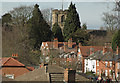
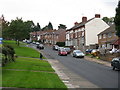
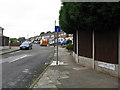
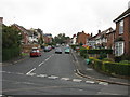
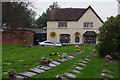
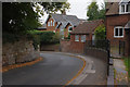
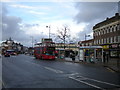
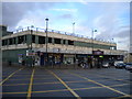
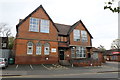
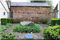
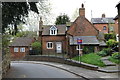
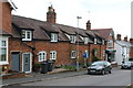
56 photos from this area
Area Information
Key information about the B31 2DX including its size, population, and administrative classification.
- Area Type
- Postcode
- Area Size
- 2.0 hectares
- Population
- 1624
- Population Density
- 3225 people/km²
House Prices in B31 2DX
23
Properties
£313,997
Average Sold Price
£142,000
Lowest Price
£575,000
Highest Price
Showing 23 properties
| Address | Type | Beds | Baths | Last Sale Price | Last Sale Date | |
|---|---|---|---|---|---|---|
| 21 Innage Road, Birmingham, B31 2DX | house | - | - | £350,000 | Mar 2022 | |
| 1 Innage Road, Birmingham, B31 2DX | house | - | - | £300,000 | Aug 2021 | |
| 22 Innage Road, Birmingham, B31 2DX | house | - | - | £430,000 | May 2021 | |
| 18 Innage Road, Birmingham, B31 2DX | house | - | - | £525,000 | Feb 2021 | |
| 5 Innage Road, Birmingham, B31 2DX | Detached | 5 | 1 | £575,000 | May 2019 | |
| 4 Innage Road, Birmingham, B31 2DX | Detached | 6 | 1 | £485,000 | Apr 2017 | |
| 17 Innage Road, Birmingham, B31 2DX | Semi-detached | 3 | - | £325,000 | Dec 2015 | |
| 7 Innage Road, Birmingham, B31 2DX | house | 4 | - | £370,000 | Aug 2012 | |
| 23 Innage Road, Birmingham, B31 2DX | Semi-detached | 3 | - | £229,950 | Jan 2011 | |
| 11 Innage Road, Birmingham, B31 2DX | house | 3 | - | £250,000 | Dec 2010 |
Page 1 of 3
Energy Efficiency in B31 2DX
Amenities
Schools
| Rank | School | Type | Entry gender | Ages |
|---|
Explore more schools in this area
Go to Schools tabDemographics
Household Size
Family (3-5 people)
most common
Accommodation Type
Houses
most common
Tenure
74
majority
Ethnic Group
White
most common
Religion
N/A
most common
Household Composition
N/A
most common
Age
47
median
Adults (30-64 years)
most common
Household Deprivation
N/A
with no deprivation
NS-SEC
49
in Lower managerial occupations
Explore more demographic insights in this area
Go to Demographics tabPlanning
Planning Constraints
- Flood RiskPremium
- Ramsar Wetland SitesPremium
- Area of Outstanding Natural BeautyPremium
- Protected Nature ReservePremium
- Protected WoodlandPremium