Area Overview for B31 1TR
Photos of B31 1TR
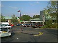
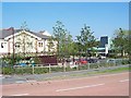
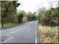
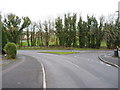
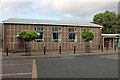
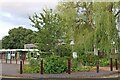
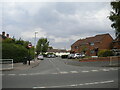
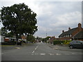
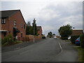

18 photos from this area
Area Information
Key information about the B31 1TR including its size, population, and administrative classification.
- Area Type
- Postcode
- Area Size
- 5.3 hectares
- Population
- 1707
- Population Density
- 3883 people/km²
House Prices in B31 1TR
26
Properties
£304,388
Average Sold Price
£82,500
Lowest Price
£1,475,000
Highest Price
Showing 26 properties
| Address | Type | Beds | Baths | Last Sale Price | Last Sale Date | |
|---|---|---|---|---|---|---|
| 149 Holloway, Birmingham, B31 1TR | Semi-detached | 3 | 1 | £100,000 | Oct 2023 | |
| 119 Holloway, Birmingham, B31 1TR | Semi-detached | 3 | 2 | £220,000 | Jul 2023 | |
| 101 Holloway, Birmingham, B31 1TR | Unknown | - | - | £1,475,000 | May 2021 | |
| 131 Holloway, Birmingham, B31 1TR | house | - | - | £185,000 | Apr 2021 | |
| 145 Holloway, Birmingham, B31 1TR | Semi-detached | 4 | 2 | £114,500 | Dec 2020 | |
| 123 Holloway, Birmingham, B31 1TR | Semi-detached | 3 | 1 | £181,500 | Feb 2020 | |
| 147 Holloway, Birmingham, B31 1TR | Semi-detached | 2 | 1 | £82,500 | May 2019 | |
| 121 Holloway, Birmingham, B31 1TR | Detached | 3 | 2 | £190,000 | May 2008 | |
| 133 Holloway, Birmingham, B31 1TR | Semi-detached | 3 | 1 | £190,995 | Apr 2007 | |
| 99 Holloway, Birmingham, B31 1TR | Detached | 3 | 2 | - | - |
Page 1 of 3
Energy Efficiency in B31 1TR
Amenities
Schools
| Rank | School | Type | Entry gender | Ages |
|---|
Explore more schools in this area
Go to Schools tabDemographics
Household Size
Family (3-5 people)
most common
Accommodation Type
Houses
most common
Tenure
42
majority
Ethnic Group
White
most common
Religion
N/A
most common
Household Composition
N/A
most common
Age
47
median
Adults (30-64 years)
most common
Household Deprivation
N/A
with no deprivation
NS-SEC
19
in Lower managerial occupations
Explore more demographic insights in this area
Go to Demographics tabPlanning
Planning Constraints
- Flood RiskPremium
- Ramsar Wetland SitesPremium
- Area of Outstanding Natural BeautyPremium
- Protected Nature ReservePremium
- Protected WoodlandPremium