Area Overview for B31 1SU
Photos of B31 1SU
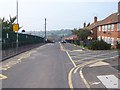

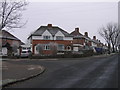
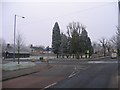
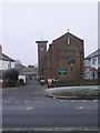
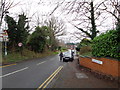
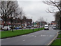
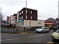
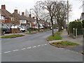
45 photos from this area
Area Information
Key information about the B31 1SU including its size, population, and administrative classification.
- Area Type
- Postcode
- Area Size
- 5243 m²
- Population
- 1466
- Population Density
- 3433 people/km²
House Prices in B31 1SU
18
Properties
£147,161
Average Sold Price
£66,500
Lowest Price
£224,000
Highest Price
Showing 18 properties
| Address | Type | Beds | Baths | Last Sale Price | Last Sale Date | |
|---|---|---|---|---|---|---|
| 29 Hoggs Lane, Birmingham, B31 1SU | Semi-detached | 3 | 1 | £224,000 | Oct 2024 | |
| 51 Hoggs Lane, Birmingham, B31 1SU | house | 3 | 1 | £210,000 | Mar 2023 | |
| 33 Hoggs Lane, Birmingham, B31 1SU | Retail | 3 | 1 | £210,000 | Dec 2022 | |
| 47 Hoggs Lane, Birmingham, B31 1SU | house | - | - | £170,000 | Aug 2021 | |
| 41 Hoggs Lane, Birmingham, B31 1SU | house | 3 | 1 | £134,950 | Mar 2016 | |
| 31 Hoggs Lane, Birmingham, B31 1SU | Semi-detached | 3 | 1 | £130,000 | Sep 2015 | |
| 35 Hoggs Lane, Birmingham, B31 1SU | house | - | - | £105,000 | Dec 2009 | |
| 23 Hoggs Lane, Birmingham, B31 1SU | Semi-detached | 2 | 1 | £66,500 | Apr 2008 | |
| 25 Hoggs Lane, Birmingham, B31 1SU | Semi-detached | - | - | £74,000 | Apr 2003 | |
| 27 Hoggs Lane, Birmingham, B31 1SU | Semi-detached | - | - | - | - |
Page 1 of 2
Energy Efficiency in B31 1SU
Amenities
Schools
| Rank | School | Type | Entry gender | Ages |
|---|
Explore more schools in this area
Go to Schools tabDemographics
Household Size
Family (3-5 people)
most common
Accommodation Type
Houses
most common
Tenure
54
majority
Ethnic Group
White
most common
Religion
N/A
most common
Household Composition
N/A
most common
Age
47
median
Adults (30-64 years)
most common
Household Deprivation
N/A
with no deprivation
NS-SEC
18
in Lower managerial occupations
Explore more demographic insights in this area
Go to Demographics tabPlanning
Planning Constraints
- Flood RiskPremium
- Ramsar Wetland SitesPremium
- Area of Outstanding Natural BeautyPremium
- Protected Nature ReservePremium
- Protected WoodlandPremium