Area Overview for B31 1RF
Photos of B31 1RF
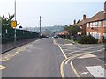

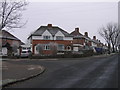
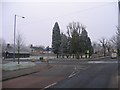
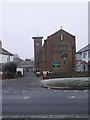
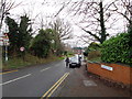
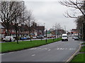
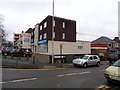
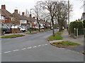
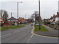
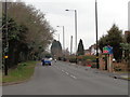
45 photos from this area
Area Information
Key information about the B31 1RF including its size, population, and administrative classification.
- Area Type
- Postcode
- Area Size
- 1.7 hectares
- Population
- 1746
- Population Density
- 6099 people/km²
House Prices in B31 1RF
61
Properties
£112,444
Average Sold Price
£28,500
Lowest Price
£225,000
Highest Price
Showing 61 properties
| Address | Type | Beds | Baths | Last Sale Price | Last Sale Date | |
|---|---|---|---|---|---|---|
| 39 Inverness Road, Birmingham, B31 1RF | Terraced | 3 | 2 | £225,000 | Sep 2025 | |
| 44 Inverness Road, Birmingham, B31 1RF | house | - | - | £150,000 | Jan 2023 | |
| 81 Inverness Road, Birmingham, B31 1RF | house | 3 | 1 | £177,500 | Nov 2022 | |
| 50 Inverness Road, Birmingham, B31 1RF | Terraced | 3 | 1 | £197,000 | Feb 2022 | |
| 35 Inverness Road, Birmingham, B31 1RF | house | 2 | - | £188,000 | Nov 2021 | |
| 33 Inverness Road, Birmingham, B31 1RF | Terraced | 2 | - | £168,500 | Oct 2021 | |
| 60 Inverness Road, Birmingham, B31 1RF | house | - | - | £170,500 | Oct 2020 | |
| 72 Inverness Road, Birmingham, B31 1RF | house | - | - | £140,000 | Jun 2020 | |
| 68 Inverness Road, Birmingham, B31 1RF | Terraced | 3 | 1 | £136,000 | Jan 2020 | |
| 43 Inverness Road, Birmingham, B31 1RF | Terraced | 3 | 1 | £138,000 | Dec 2017 |
Page 1 of 7
Energy Efficiency in B31 1RF
Amenities
Schools
| Rank | School | Type | Entry gender | Ages |
|---|
Explore more schools in this area
Go to Schools tabDemographics
Household Size
Family (3-5 people)
most common
Accommodation Type
Houses
most common
Tenure
55
majority
Ethnic Group
White
most common
Religion
N/A
most common
Household Composition
N/A
most common
Age
47
median
Adults (30-64 years)
most common
Household Deprivation
N/A
with no deprivation
NS-SEC
22
in Lower managerial occupations
Explore more demographic insights in this area
Go to Demographics tabPlanning
Planning Constraints
- Flood RiskPremium
- Ramsar Wetland SitesPremium
- Area of Outstanding Natural BeautyPremium
- Protected Nature ReservePremium
- Protected WoodlandPremium