Area Overview for B31 1PP
Photos of B31 1PP
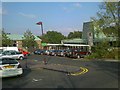
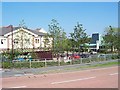
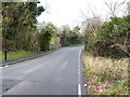
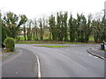
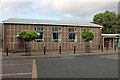
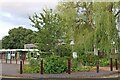
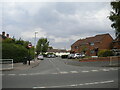
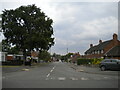
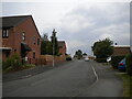

18 photos from this area
Area Information
Key information about the B31 1PP including its size, population, and administrative classification.
- Area Type
- Postcode
- Area Size
- 1.2 hectares
- Population
- 1707
- Population Density
- 3883 people/km²
House Prices in B31 1PP
31
Properties
£84,189
Average Sold Price
£14,760
Lowest Price
£145,000
Highest Price
Showing 31 properties
| Address | Type | Beds | Baths | Last Sale Price | Last Sale Date | |
|---|---|---|---|---|---|---|
| 61 Merritts Brook Lane, Birmingham, B31 1PP | Semi-detached | - | - | £70,000 | Nov 2023 | |
| 67 Merritts Brook Lane, Birmingham, B31 1PP | Terraced | 3 | 1 | £145,000 | May 2019 | |
| 59 Merritts Brook Lane, Birmingham, B31 1PP | house | 3 | - | £14,760 | Jan 2017 | |
| 111 Merritts Brook Lane, Birmingham, B31 1PP | Semi-detached | 4 | 1 | £145,000 | Aug 2016 | |
| 99 Merritts Brook Lane, Birmingham, B31 1PP | house | 3 | 1 | £105,000 | Dec 2015 | |
| 53 Merritts Brook Lane, Birmingham, B31 1PP | Semi-detached | 3 | 1 | £112,000 | Mar 2014 | |
| 101 Merritts Brook Lane, Birmingham, B31 1PP | house | 3 | - | £74,700 | Apr 2011 | |
| 77 Merritts Brook Lane, Birmingham, B31 1PP | house | 2 | - | £100,000 | Feb 2011 | |
| 55 Merritts Brook Lane, Birmingham, B31 1PP | house | - | - | £81,000 | Dec 2010 | |
| 69 Merritts Brook Lane, Birmingham, B31 1PP | house | - | - | £70,000 | Mar 2010 |
Page 1 of 4
Energy Efficiency in B31 1PP
Amenities
Schools
| Rank | School | Type | Entry gender | Ages |
|---|
Explore more schools in this area
Go to Schools tabDemographics
Household Size
Family (3-5 people)
most common
Accommodation Type
Houses
most common
Tenure
42
majority
Ethnic Group
White
most common
Religion
N/A
most common
Household Composition
N/A
most common
Age
47
median
Adults (30-64 years)
most common
Household Deprivation
N/A
with no deprivation
NS-SEC
19
in Lower managerial occupations
Explore more demographic insights in this area
Go to Demographics tabPlanning
Planning Constraints
- Flood RiskPremium
- Ramsar Wetland SitesPremium
- Area of Outstanding Natural BeautyPremium
- Protected Nature ReservePremium
- Protected WoodlandPremium