Area Overview for B31 1DY
Photos of B31 1DY
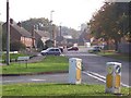
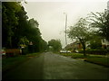
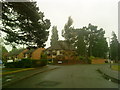
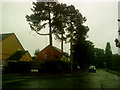
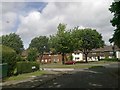


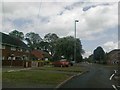
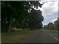
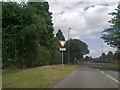
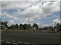
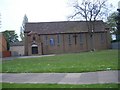
46 photos from this area
Area Information
Key information about the B31 1DY including its size, population, and administrative classification.
- Area Type
- Postcode
- Area Size
- 1.4 hectares
- Population
- 1596
- Population Density
- 2996 people/km²
House Prices in B31 1DY
46
Properties
£127,159
Average Sold Price
£40,000
Lowest Price
£290,000
Highest Price
Showing 46 properties
| Address | Type | Beds | Baths | Last Sale Price | Last Sale Date | |
|---|---|---|---|---|---|---|
| 126 Long Nuke Road, Birmingham, B31 1DY | house | - | - | £280,000 | Jun 2025 | |
| 154 Long Nuke Road, Birmingham, B31 1DY | Terraced | 4 | 1 | £290,000 | Oct 2023 | |
| 128 Long Nuke Road, Birmingham, B31 1DY | house | - | - | £87,000 | Jan 2019 | |
| 130 Long Nuke Road, Birmingham, B31 1DY | Terraced | 4 | - | £161,800 | May 2018 | |
| 164 Long Nuke Road, Birmingham, B31 1DY | house | - | - | £125,000 | Mar 2017 | |
| 138 Long Nuke Road, Birmingham, B31 1DY | Terraced | 4 | 2 | £110,000 | Oct 2015 | |
| 122 Long Nuke Road, Birmingham, B31 1DY | Terraced | - | - | £100,000 | Feb 2006 | |
| 162 Long Nuke Road, Birmingham, B31 1DY | Semi-detached | 1 | - | £87,950 | Apr 2003 | |
| 144 Long Nuke Road, Birmingham, B31 1DY | house | - | - | £74,000 | Sep 2002 | |
| 136 Long Nuke Road, Birmingham, B31 1DY | house | 4 | 2 | £40,000 | Jun 2000 |
Page 1 of 5
Energy Efficiency in B31 1DY
Amenities
Schools
| Rank | School | Type | Entry gender | Ages |
|---|
Explore more schools in this area
Go to Schools tabDemographics
Household Size
One person
most common
Accommodation Type
Houses
most common
Tenure
34
majority
Ethnic Group
White
most common
Religion
N/A
most common
Household Composition
N/A
most common
Age
47
median
Adults (30-64 years)
most common
Household Deprivation
N/A
with no deprivation
NS-SEC
19
in Lower managerial occupations
Explore more demographic insights in this area
Go to Demographics tabPlanning
Planning Constraints
- Flood RiskPremium
- Ramsar Wetland SitesPremium
- Area of Outstanding Natural BeautyPremium
- Protected Nature ReservePremium
- Protected WoodlandPremium