Area Overview for B31 1DD
Photos of B31 1DD
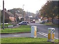
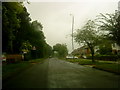
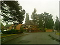
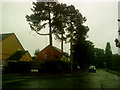
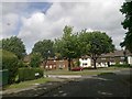
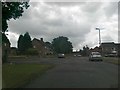

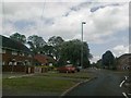
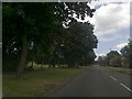
46 photos from this area
Area Information
Key information about the B31 1DD including its size, population, and administrative classification.
- Area Type
- Postcode
- Area Size
- 8484 m²
- Population
- 1596
- Population Density
- 2996 people/km²
House Prices in B31 1DD
25
Properties
£103,786
Average Sold Price
£40,000
Lowest Price
£173,500
Highest Price
Showing 25 properties
| Address | Type | Beds | Baths | Last Sale Price | Last Sale Date | |
|---|---|---|---|---|---|---|
| 142A Woodcock Lane, Bartley Green, Birmingham, B31 1DD | Terraced | 3 | 1 | £173,500 | Feb 2022 | |
| 150 Woodcock Lane, Bartley Green, Birmingham, B31 1DD | Semi-detached | 2 | 1 | £170,000 | Nov 2018 | |
| 170 Woodcock Lane, Bartley Green, Birmingham, B31 1DD | Semi-detached | 2 | - | £126,000 | Apr 2017 | |
| 134 Woodcock Lane, Bartley Green, Birmingham, B31 1DD | Terraced | 3 | 1 | £82,000 | Mar 2013 | |
| 158 Woodcock Lane, Bartley Green, Birmingham, B31 1DD | house | - | - | £70,000 | Nov 2008 | |
| 168 Woodcock Lane, Bartley Green, Birmingham, B31 1DD | Terraced | - | - | £65,000 | Sep 2002 | |
| 152 Woodcock Lane, Bartley Green, Birmingham, B31 1DD | Semi-detached | - | - | £40,000 | Dec 1998 | |
| 136 Woodcock Lane, Bartley Green, Birmingham, B31 1DD | Detached | 2 | 1 | - | - | |
| 140A Woodcock Lane, Bartley Green, Birmingham, B31 1DD | Terraced | - | - | - | - | |
| 138B Woodcock Lane, Bartley Green, Birmingham, B31 1DD | Bungalow | - | - | - | - |
Page 1 of 3
Energy Efficiency in B31 1DD
Amenities
Schools
| Rank | School | Type | Entry gender | Ages |
|---|
Explore more schools in this area
Go to Schools tabDemographics
Household Size
One person
most common
Accommodation Type
Houses
most common
Tenure
34
majority
Ethnic Group
White
most common
Religion
N/A
most common
Household Composition
N/A
most common
Age
47
median
Adults (30-64 years)
most common
Household Deprivation
N/A
with no deprivation
NS-SEC
19
in Lower managerial occupations
Explore more demographic insights in this area
Go to Demographics tabPlanning
Planning Constraints
- Flood RiskPremium
- Ramsar Wetland SitesPremium
- Area of Outstanding Natural BeautyPremium
- Protected Nature ReservePremium
- Protected WoodlandPremium