Area Overview for B30 3DY
Photos of B30 3DY
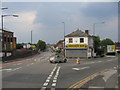
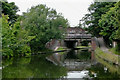
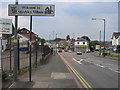
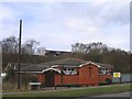
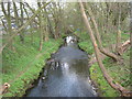
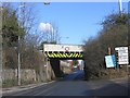
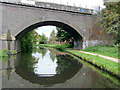
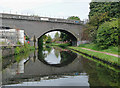
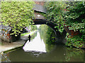

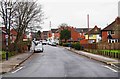
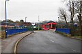
100 photos from this area
Area Information
Key information about the B30 3DY including its size, population, and administrative classification.
- Area Type
- Postcode
- Area Size
- 3.8 hectares
- Population
- 1604
- Population Density
- 6827 people/km²
House Prices in B30 3DY
30
Properties
£252,342
Average Sold Price
£34,000
Lowest Price
£2,025,000
Highest Price
Showing 30 properties
| Address | Type | Beds | Baths | Last Sale Price | Last Sale Date | |
|---|---|---|---|---|---|---|
| 8 Lifford Lane, Birmingham, B30 3DY | Terraced | 5 | 2 | £138,000 | Aug 2024 | |
| 4 Lifford Lane, Birmingham, B30 3DY | Terraced | 5 | 2 | £2,025,000 | May 2021 | |
| 16 Lifford Lane, Birmingham, B30 3DY | house | - | - | £110,000 | Sep 2019 | |
| 6 Lifford Lane, Birmingham, B30 3DY | Terraced | 2 | 1 | £127,500 | Oct 2018 | |
| 20 Lifford Lane, Birmingham, B30 3DY | Terraced | 2 | 1 | £155,000 | Oct 2018 | |
| 22 Lifford Lane, Birmingham, B30 3DY | Terraced | 2 | 1 | £135,000 | Feb 2017 | |
| 18 Lifford Lane, Birmingham, B30 3DY | house | - | - | £112,500 | Aug 2012 | |
| 12 Lifford Lane, Birmingham, B30 3DY | house | - | - | £109,950 | Jun 2011 | |
| 26 Lifford Lane, Birmingham, B30 3DY | house | - | - | £106,000 | Jul 2009 | |
| Wharfside Leisure Complex, 10 Lifford Lane, Birmingham, B30 3DY | Terraced | 2 | 1 | £86,000 | Dec 2003 |
Page 1 of 3
Energy Efficiency in B30 3DY
Amenities
Schools
| Rank | School | Type | Entry gender | Ages |
|---|
Explore more schools in this area
Go to Schools tabDemographics
Household Size
Two person
most common
Accommodation Type
Houses
most common
Tenure
55
majority
Ethnic Group
White
most common
Religion
N/A
most common
Household Composition
N/A
most common
Age
47
median
Adults (30-64 years)
most common
Household Deprivation
N/A
with no deprivation
NS-SEC
32
in Lower managerial occupations
Explore more demographic insights in this area
Go to Demographics tabPlanning
Planning Constraints
- Flood RiskPremium
- Ramsar Wetland SitesPremium
- Area of Outstanding Natural BeautyPremium
- Protected Nature ReservePremium
- Protected WoodlandPremium