Area Overview for B30 2JW
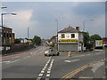
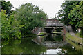
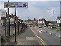
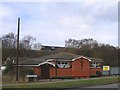
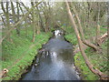
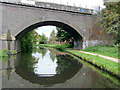
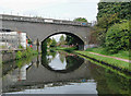
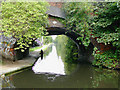
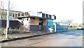
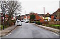
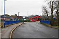
Photos of B30 2JW

Area Information
B30 2JW is a small residential cluster in Stirchley, a suburb of south-west Birmingham, England. With a population of 1,767, it is a tightly knit community centred around historical pasture lands and Victorian terracing. The area’s character is shaped by its industrial past, linked to canals and railways, and its proximity to Bournville and Selly Oak. Stirchley’s name likely derives from Old English, meaning “pasture for cattle,” reflecting its rural origins before urban expansion. Residents benefit from proximity to Birmingham’s cultural and commercial hubs while retaining a distinct local identity. Key landmarks include Stirchley Baths, a heritage site, and the Stirchley Neighbourhood Forum, which hosts regular community meetings. The area’s compact size means amenities and services are within easy reach, making it appealing for those seeking a balance between suburban tranquillity and city access.
- Area Type
- Postcode
- Area Size
- Not available
- Population
- 1767
- Population Density
- 4629 people/km²
B30 2JW is characterised by a predominance of houses, with 53% of properties owned by residents. This contrasts with areas dominated by flats or high-density housing, suggesting a focus on family homes and long-term residency. The small size of the postcode area means the housing stock is limited, with no indication of new developments or high-rise construction. The relatively low home ownership rate (47%) implies a significant rental market, potentially attracting younger professionals or those seeking flexible living arrangements. Buyers should consider the area’s compact nature and proximity to Birmingham’s transport networks, which may enhance its appeal for commuters. However, the limited property supply could lead to competition for available homes, particularly in desirable locations within the cluster.
House Prices in B30 2JW
No properties found in this postcode.
Energy Efficiency in B30 2JW
B30 2JW offers a mix of practical amenities within easy reach. Retail options include Aldi, Farmfoods, and Morrisons, catering to daily shopping needs. The area’s proximity to metro hubs like Edgbaston Village and Centenary Square provides access to Birmingham’s vibrant cultural scene, including restaurants, cafes, and public spaces. Nearby rail stations connect residents to wider opportunities, while historical sites such as Stirchley Baths and St Mary Magdalene Church add character to daily life. The Stirchley Neighbourhood Forum fosters community engagement, and the area’s compact size ensures a sense of closeness to local services. This blend of convenience, heritage, and connectivity supports a lifestyle that balances suburban comfort with urban accessibility.
Amenities
Schools
The nearest school to B30 2JW is Stirchley Primary School, a primary institution serving the local community. The data lists this school twice, but it appears to be the sole primary school in the immediate vicinity. No secondary schools are mentioned, meaning families may need to consider commuting to nearby areas for secondary education. The presence of a primary school supports the area’s appeal for families, though the absence of a broader school network could be a limitation. Parents should investigate additional options in adjacent postcode areas, such as B14 or B15, which may offer more comprehensive educational facilities.
| Rank | School | Type | Entry gender | Ages |
|---|
Explore more schools in this area
Go to Schools tabDemographics
The population of B30 2JW is 1,767, with a median age of 47 and the most common age range being adults aged 30–64. This suggests a mature, stable community with a focus on family living. Home ownership stands at 53%, indicating a mix of owner-occupied properties and rental homes. The predominant accommodation type is houses, which aligns with the area’s low-rise, terraced housing stock. The predominant ethnic group is White, reflecting the broader demographic patterns of the West Midlands. While no specific deprivation data is provided, the age profile and home ownership rate suggest a community with established roots and limited generational turnover. This demographic structure may influence local services and amenities, with a focus on adult-oriented needs and family-oriented infrastructure.
Household Size
Accommodation Type
Tenure
Ethnic Group
Religion
Household Composition
Age
Household Deprivation
NS-SEC
Explore more demographic insights in this area
Go to Demographics tabPlanning
Planning Constraints
- Flood RiskPremium
- Ramsar Wetland SitesPremium
- Area of Outstanding Natural BeautyPremium
- Protected Nature ReservePremium
- Protected WoodlandPremium