Area Overview for B30 1SR
Photos of B30 1SR
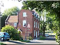
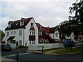
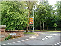
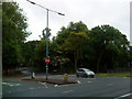
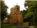
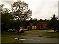

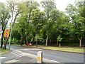
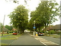
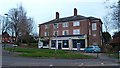

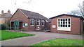
42 photos from this area
Area Information
Key information about the B30 1SR including its size, population, and administrative classification.
- Area Type
- Postcode
- Area Size
- 1.1 hectares
- Population
- 1432
- Population Density
- 2782 people/km²
House Prices in B30 1SR
17
Properties
£296,792
Average Sold Price
£114,000
Lowest Price
£510,000
Highest Price
Showing 17 properties
| Address | Type | Beds | Baths | Last Sale Price | Last Sale Date | |
|---|---|---|---|---|---|---|
| 380 Hay Green Lane, Birmingham, B30 1SR | Semi-detached | 3 | 3 | £510,000 | Oct 2024 | |
| 376 Hay Green Lane, Birmingham, B30 1SR | Semi-detached | 3 | 2 | £362,000 | Jan 2023 | |
| 360 Hay Green Lane, Birmingham, B30 1SR | Semi-detached | 3 | 1 | £340,000 | Mar 2021 | |
| 354 Hay Green Lane, Birmingham, B30 1SR | Semi-detached | 3 | 1 | £340,000 | Dec 2019 | |
| 382 Hay Green Lane, Birmingham, B30 1SR | Semi-detached | 3 | - | £375,000 | Jun 2019 | |
| 356 Hay Green Lane, Birmingham, B30 1SR | Semi-detached | 3 | 1 | £320,000 | Jan 2019 | |
| 358 Hay Green Lane, Birmingham, B30 1SR | Semi-detached | 3 | 1 | £257,500 | Oct 2018 | |
| 362 Hay Green Lane, Birmingham, B30 1SR | house | 3 | - | £258,000 | Dec 2017 | |
| 368 Hay Green Lane, Birmingham, B30 1SR | Semi-detached | 4 | - | £295,000 | Dec 2014 | |
| 374 Hay Green Lane, Birmingham, B30 1SR | Terraced | - | - | £270,000 | Nov 2008 |
Page 1 of 2
Energy Efficiency in B30 1SR
Amenities
Schools
| Rank | School | Type | Entry gender | Ages |
|---|
Explore more schools in this area
Go to Schools tabDemographics
Household Size
Two person
most common
Accommodation Type
Houses
most common
Tenure
50
majority
Ethnic Group
White
most common
Religion
N/A
most common
Household Composition
N/A
most common
Age
47
median
Adults (30-64 years)
most common
Household Deprivation
N/A
with no deprivation
NS-SEC
38
in Lower managerial occupations
Explore more demographic insights in this area
Go to Demographics tabPlanning
Planning Constraints
- Flood RiskPremium
- Ramsar Wetland SitesPremium
- Area of Outstanding Natural BeautyPremium
- Protected Nature ReservePremium
- Protected WoodlandPremium