Area Overview for B30 1SA
Photos of B30 1SA
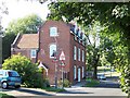
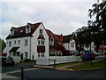
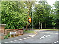
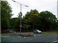
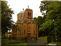
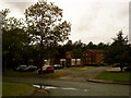

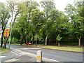
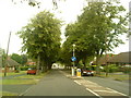

42 photos from this area
Area Information
Key information about the B30 1SA including its size, population, and administrative classification.
- Area Type
- Postcode
- Area Size
- 1.2 hectares
- Population
- 1432
- Population Density
- 2782 people/km²
House Prices in B30 1SA
22
Properties
£321,889
Average Sold Price
£72,500
Lowest Price
£508,500
Highest Price
Showing 22 properties
| Address | Type | Beds | Baths | Last Sale Price | Last Sale Date | |
|---|---|---|---|---|---|---|
| 140 Woodlands Park Road, Birmingham, B30 1SA | Semi-detached | 3 | 1 | £415,000 | Jun 2024 | |
| 145 Woodlands Park Road, Birmingham, B30 1SA | Semi-detached | 4 | 1 | £508,500 | Nov 2023 | |
| 138 Woodlands Park Road, Birmingham, B30 1SA | Semi-detached | 3 | 1 | £425,000 | Dec 2022 | |
| 153 Woodlands Park Road, Birmingham, B30 1SA | house | 3 | - | £417,000 | Feb 2021 | |
| 146 Woodlands Park Road, Birmingham, B30 1SA | Semi-detached | 2 | - | £242,000 | Mar 2020 | |
| 150 Woodlands Park Road, Birmingham, B30 1SA | Semi-detached | 2 | 1 | £230,000 | Jan 2016 | |
| 151 Woodlands Park Road, Birmingham, B30 1SA | Semi-detached | - | - | £298,000 | Oct 2009 | |
| 147 Woodlands Park Road, Birmingham, B30 1SA | Semi-detached | - | - | £289,000 | Dec 2007 | |
| 148 Woodlands Park Road, Birmingham, B30 1SA | house | - | - | £72,500 | Jul 1998 | |
| 130 Woodlands Park Road, Birmingham, B30 1SA | Semi-detached | - | - | - | - |
Page 1 of 3
Energy Efficiency in B30 1SA
Amenities
Schools
| Rank | School | Type | Entry gender | Ages |
|---|
Explore more schools in this area
Go to Schools tabDemographics
Household Size
Two person
most common
Accommodation Type
Houses
most common
Tenure
50
majority
Ethnic Group
White
most common
Religion
N/A
most common
Household Composition
N/A
most common
Age
47
median
Adults (30-64 years)
most common
Household Deprivation
N/A
with no deprivation
NS-SEC
38
in Lower managerial occupations
Explore more demographic insights in this area
Go to Demographics tabPlanning
Planning Constraints
- Flood RiskPremium
- Ramsar Wetland SitesPremium
- Area of Outstanding Natural BeautyPremium
- Protected Nature ReservePremium
- Protected WoodlandPremium