Area Overview for B30 1EU
Photos of B30 1EU

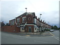
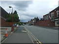

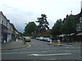
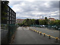
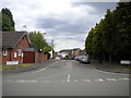
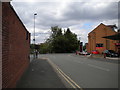
47 photos from this area
Area Information
Key information about the B30 1EU including its size, population, and administrative classification.
- Area Type
- Postcode
- Area Size
- 3.8 hectares
- Population
- 1732
- Population Density
- 4640 people/km²
House Prices in B30 1EU
38
Properties
£145,557
Average Sold Price
£38,500
Lowest Price
£330,000
Highest Price
Showing 38 properties
| Address | Type | Beds | Baths | Last Sale Price | Last Sale Date | |
|---|---|---|---|---|---|---|
| 128 Oak Farm Road, Birmingham, B30 1EU | Semi-detached | 3 | 1 | £133,000 | Jul 2025 | |
| 152 Oak Farm Road, Birmingham, B30 1EU | Detached | 3 | 1 | £130,000 | Jun 2025 | |
| 158 Oak Farm Road, Birmingham, B30 1EU | Terraced | 3 | 1 | £130,000 | Feb 2025 | |
| 130 Oak Farm Road, Birmingham, B30 1EU | Detached | 3 | 1 | £135,000 | Feb 2025 | |
| 170 Oak Farm Road, Birmingham, B30 1EU | Semi-detached | 3 | 1 | £245,000 | Nov 2022 | |
| 184 Oak Farm Road, Birmingham, B30 1EU | house | 3 | 1 | £330,000 | May 2022 | |
| 134 Oak Farm Road, Birmingham, B30 1EU | house | - | - | £193,000 | Jul 2021 | |
| 150 Oak Farm Road, Birmingham, B30 1EU | Semi-detached | 3 | - | £135,000 | Sep 2019 | |
| 190 Oak Farm Road, Birmingham, B30 1EU | Semi-detached | 3 | 1 | £130,000 | Oct 2018 | |
| 124 Oak Farm Road, Birmingham, B30 1EU | Semi-detached | 3 | 1 | £159,000 | Jun 2017 |
Page 1 of 4
Energy Efficiency in B30 1EU
Amenities
Schools
| Rank | School | Type | Entry gender | Ages |
|---|
Explore more schools in this area
Go to Schools tabDemographics
Household Size
One person
most common
Accommodation Type
Houses
most common
Tenure
59
majority
Ethnic Group
White
most common
Religion
N/A
most common
Household Composition
N/A
most common
Age
47
median
Adults (30-64 years)
most common
Household Deprivation
N/A
with no deprivation
NS-SEC
40
in Lower managerial occupations
Explore more demographic insights in this area
Go to Demographics tabPlanning
Planning Constraints
- Flood RiskPremium
- Ramsar Wetland SitesPremium
- Area of Outstanding Natural BeautyPremium
- Protected Nature ReservePremium
- Protected WoodlandPremium