Area Overview for B29 7SZ
Photos of B29 7SZ

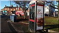
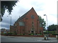
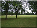
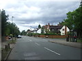
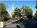
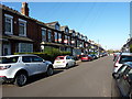
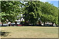
45 photos from this area
Area Information
Key information about the B29 7SZ including its size, population, and administrative classification.
- Area Type
- Postcode
- Area Size
- 1.2 hectares
- Population
- 1546
- Population Density
- 7118 people/km²
House Prices in B29 7SZ
28
Properties
£190,929
Average Sold Price
£53,000
Lowest Price
£325,000
Highest Price
Showing 28 properties
| Address | Type | Beds | Baths | Last Sale Price | Last Sale Date | |
|---|---|---|---|---|---|---|
| 129 Cherington Road, Birmingham, B29 7SZ | Semi-detached | 3 | 1 | £325,000 | Mar 2023 | |
| 119 Cherington Road, Birmingham, B29 7SZ | Detached | 3 | 1 | £299,950 | Aug 2021 | |
| 117 Cherington Road, Birmingham, B29 7SZ | Semi-detached | 3 | - | £235,000 | Jan 2020 | |
| 143 Cherington Road, Birmingham, B29 7SZ | Semi-detached | 3 | - | £255,000 | Jul 2018 | |
| 115 Cherington Road, Birmingham, B29 7SZ | Semi-detached | 3 | 1 | £261,000 | May 2018 | |
| 153 Cherington Road, Birmingham, B29 7SZ | Semi-detached | 3 | 1 | £242,000 | Oct 2016 | |
| 131 Cherington Road, Birmingham, B29 7SZ | Semi-detached | 3 | 1 | £243,500 | Sep 2016 | |
| 123 Cherington Road, Birmingham, B29 7SZ | Semi-detached | 3 | 1 | £226,000 | Jul 2016 | |
| 127 Cherington Road, Birmingham, B29 7SZ | Semi-detached | 3 | 1 | £187,100 | Jun 2016 | |
| 125 Cherington Road, Birmingham, B29 7SZ | Semi-detached | 3 | - | £185,000 | Mar 2016 |
Page 1 of 3
Energy Efficiency in B29 7SZ
Amenities
Schools
| Rank | School | Type | Entry gender | Ages |
|---|
Explore more schools in this area
Go to Schools tabDemographics
Household Size
Family (3-5 people)
most common
Accommodation Type
Houses
most common
Tenure
58
majority
Ethnic Group
White
most common
Religion
N/A
most common
Household Composition
N/A
most common
Age
47
median
Adults (30-64 years)
most common
Household Deprivation
N/A
with no deprivation
NS-SEC
31
in Lower managerial occupations
Explore more demographic insights in this area
Go to Demographics tabPlanning
Planning Constraints
- Flood RiskPremium
- Ramsar Wetland SitesPremium
- Area of Outstanding Natural BeautyPremium
- Protected Nature ReservePremium
- Protected WoodlandPremium