Area Overview for B29 6SA
Photos of B29 6SA
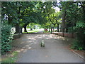
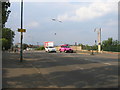
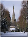
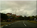
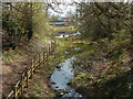
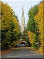
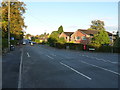
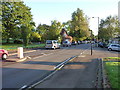
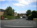
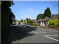
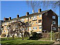
29 photos from this area
Area Information
Key information about the B29 6SA including its size, population, and administrative classification.
- Area Type
- Postcode
- Area Size
- 1.4 hectares
- Population
- 1476
- Population Density
- 4363 people/km²
House Prices in B29 6SA
43
Properties
£189,956
Average Sold Price
£69,000
Lowest Price
£345,000
Highest Price
Showing 43 properties
| Address | Type | Beds | Baths | Last Sale Price | Last Sale Date | |
|---|---|---|---|---|---|---|
| 53 Durley Dean Road, Birmingham, B29 6SA | Semi-detached | 3 | 1 | £345,000 | Mar 2025 | |
| 1 Durley Dean Road, Birmingham, B29 6SA | Detached | 2 | 1 | £285,000 | Nov 2024 | |
| 37 Durley Dean Road, Birmingham, B29 6SA | Semi-detached | 3 | 1 | £275,000 | Jul 2024 | |
| 45 Durley Dean Road, Birmingham, B29 6SA | Semi-detached | 3 | 1 | £272,050 | May 2024 | |
| 29 Durley Dean Road, Birmingham, B29 6SA | Semi-detached | 3 | 1 | £273,000 | Apr 2024 | |
| 25 Durley Dean Road, Birmingham, B29 6SA | Semi-detached | 3 | 1 | £290,000 | Feb 2024 | |
| 15 Durley Dean Road, Birmingham, B29 6SA | house | 3 | - | £320,000 | Aug 2023 | |
| 57 Durley Dean Road, Birmingham, B29 6SA | Semi-detached | 3 | 1 | £240,000 | May 2023 | |
| 67 Durley Dean Road, Birmingham, B29 6SA | Semi-detached | 3 | 1 | £250,000 | Aug 2022 | |
| 73 Durley Dean Road, Birmingham, B29 6SA | Retail | 3 | 1 | £255,000 | May 2022 |
Page 1 of 5
Energy Efficiency in B29 6SA
Amenities
Schools
| Rank | School | Type | Entry gender | Ages |
|---|
Explore more schools in this area
Go to Schools tabDemographics
Household Size
Family (3-5 people)
most common
Accommodation Type
Houses
most common
Tenure
50
majority
Ethnic Group
White
most common
Religion
N/A
most common
Household Composition
N/A
most common
Age
47
median
Adults (30-64 years)
most common
Household Deprivation
N/A
with no deprivation
NS-SEC
26
in Lower managerial occupations
Explore more demographic insights in this area
Go to Demographics tabPlanning
Planning Constraints
- Flood RiskPremium
- Ramsar Wetland SitesPremium
- Area of Outstanding Natural BeautyPremium
- Protected Nature ReservePremium
- Protected WoodlandPremium