Area Overview for B29 6NH
Photos of B29 6NH
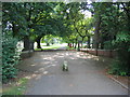
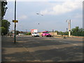
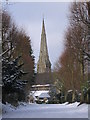
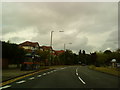
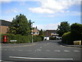
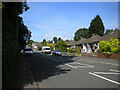
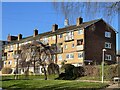
29 photos from this area
Area Information
Key information about the B29 6NH including its size, population, and administrative classification.
- Area Type
- Postcode
- Area Size
- 1.8 hectares
- Population
- 1567
- Population Density
- 4181 people/km²
House Prices in B29 6NH
45
Properties
£171,682
Average Sold Price
£58,000
Lowest Price
£295,000
Highest Price
Showing 45 properties
| Address | Type | Beds | Baths | Last Sale Price | Last Sale Date | |
|---|---|---|---|---|---|---|
| 183 Gibbins Road, Birmingham, B29 6NH | Semi-detached | 3 | 1 | £280,000 | Dec 2025 | |
| 185 Gibbins Road, Birmingham, B29 6NH | Semi-detached | 3 | 1 | £232,000 | Apr 2024 | |
| 155 Gibbins Road, Birmingham, B29 6NH | Detached | 4 | 1 | £295,000 | Aug 2023 | |
| 193 Gibbins Road, Birmingham, B29 6NH | Semi-detached | 3 | 1 | £250,000 | Sep 2021 | |
| 177 Gibbins Road, Birmingham, B29 6NH | Semi-detached | 3 | 1 | £220,000 | Dec 2019 | |
| 165 Gibbins Road, Birmingham, B29 6NH | Semi-detached | 3 | 1 | £226,000 | Mar 2019 | |
| 151 Gibbins Road, Birmingham, B29 6NH | Semi-detached | 7 | 1 | £280,000 | Feb 2018 | |
| 179 Gibbins Road, Birmingham, B29 6NH | Semi-detached | 4 | 1 | £237,000 | Jan 2018 | |
| 191 Gibbins Road, Birmingham, B29 6NH | Semi-detached | 3 | 1 | £187,000 | Dec 2015 | |
| 147 Gibbins Road, Birmingham, B29 6NH | house | - | - | £285,000 | Jul 2015 |
Page 1 of 5
Energy Efficiency in B29 6NH
Amenities
Schools
| Rank | School | Type | Entry gender | Ages |
|---|
Explore more schools in this area
Go to Schools tabDemographics
Household Size
Family (3-5 people)
most common
Accommodation Type
Houses
most common
Tenure
71
majority
Ethnic Group
White
most common
Religion
N/A
most common
Household Composition
N/A
most common
Age
47
median
Adults (30-64 years)
most common
Household Deprivation
N/A
with no deprivation
NS-SEC
41
in Lower managerial occupations
Explore more demographic insights in this area
Go to Demographics tabPlanning
Planning Constraints
- Flood RiskPremium
- Ramsar Wetland SitesPremium
- Area of Outstanding Natural BeautyPremium
- Protected Nature ReservePremium
- Protected WoodlandPremium