Area Overview for B29 5SX
Photos of B29 5SX
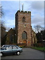
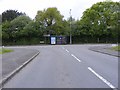
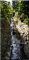
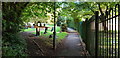
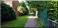
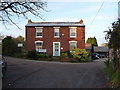
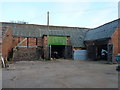
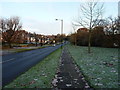
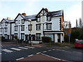
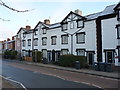
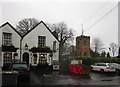
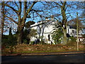
33 photos from this area
Area Information
Key information about the B29 5SX including its size, population, and administrative classification.
- Area Type
- Postcode
- Area Size
- 3910 m²
- Population
- 1499
- Population Density
- 5435 people/km²
House Prices in B29 5SX
13
Properties
£94,650
Average Sold Price
£40,000
Lowest Price
£140,000
Highest Price
Showing 13 properties
| Address | Type | Beds | Baths | Last Sale Price | Last Sale Date | |
|---|---|---|---|---|---|---|
| 108 Swinford Road, Birmingham, B29 5SX | Semi-detached | 2 | 2 | £135,000 | Mar 2022 | |
| 102 Swinford Road, Birmingham, B29 5SX | Terraced | 3 | 2 | £129,950 | Mar 2016 | |
| 106 Swinford Road, Birmingham, B29 5SX | Terraced | - | - | £115,000 | Sep 2012 | |
| 88 Swinford Road, Birmingham, B29 5SX | house | - | - | £75,000 | Dec 2010 | |
| 104 Swinford Road, Birmingham, B29 5SX | house | 3 | - | £107,000 | Nov 2010 | |
| 110 Swinford Road, Birmingham, B29 5SX | house | - | - | £140,000 | Jun 2007 | |
| 100 Swinford Road, Birmingham, B29 5SX | Semi-detached | - | - | £59,950 | Jun 2002 | |
| 92 Swinford Road, Birmingham, B29 5SX | house | - | - | £49,950 | Apr 2000 | |
| 96 Swinford Road, Birmingham, B29 5SX | house | - | - | £40,000 | Mar 2000 | |
| 98 Swinford Road, Birmingham, B29 5SX | Semi-detached | - | - | - | - |
Page 1 of 2
Energy Efficiency in B29 5SX
Amenities
Schools
| Rank | School | Type | Entry gender | Ages |
|---|
Explore more schools in this area
Go to Schools tabDemographics
Household Size
Family (3-5 people)
most common
Accommodation Type
Houses
most common
Tenure
53
majority
Ethnic Group
White
most common
Religion
N/A
most common
Household Composition
N/A
most common
Age
47
median
Adults (30-64 years)
most common
Household Deprivation
N/A
with no deprivation
NS-SEC
28
in Lower managerial occupations
Explore more demographic insights in this area
Go to Demographics tabPlanning
Planning Constraints
- Flood RiskPremium
- Ramsar Wetland SitesPremium
- Area of Outstanding Natural BeautyPremium
- Protected Nature ReservePremium
- Protected WoodlandPremium