Area Overview for B29 4NH
Photos of B29 4NH
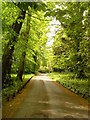
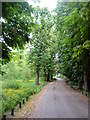
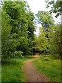
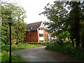
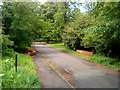
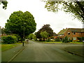
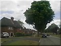
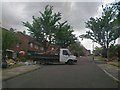
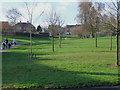
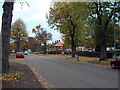
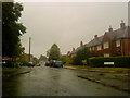
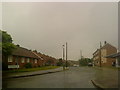
47 photos from this area
Area Information
Key information about the B29 4NH including its size, population, and administrative classification.
- Area Type
- Postcode
- Area Size
- 1.1 hectares
- Population
- 1629
- Population Density
- 3530 people/km²
House Prices in B29 4NH
20
Properties
£231,891
Average Sold Price
£16,217
Lowest Price
£425,000
Highest Price
Showing 20 properties
| Address | Type | Beds | Baths | Last Sale Price | Last Sale Date | |
|---|---|---|---|---|---|---|
| 55 Swarthmore Road, Birmingham, B29 4NH | Detached | 3 | 1 | £390,000 | Aug 2024 | |
| 53 Swarthmore Road, Birmingham, B29 4NH | Semi-detached | 3 | 1 | £425,000 | Jul 2024 | |
| 111 Swarthmore Road, Birmingham, B29 4NH | Terraced | 3 | 1 | £245,000 | Aug 2023 | |
| 69 Swarthmore Road, Birmingham, B29 4NH | Semi-detached | 5 | 1 | £380,000 | Jul 2023 | |
| 107 Swarthmore Road, Birmingham, B29 4NH | Terraced | 3 | 1 | £215,000 | Aug 2022 | |
| 71 Swarthmore Road, Birmingham, B29 4NH | Detached | 5 | 1 | £385,000 | Nov 2016 | |
| 63 Swarthmore Road, Birmingham, B29 4NH | Semi-detached | 4 | - | £305,500 | Nov 2015 | |
| 97 Swarthmore Road, Birmingham, B29 4NH | house | 3 | - | £160,000 | Oct 2013 | |
| 95 Swarthmore Road, Birmingham, B29 4NH | Semi-detached | 3 | 1 | £140,000 | Aug 2012 | |
| 103 Swarthmore Road, Birmingham, B29 4NH | Semi-detached | 3 | 1 | £165,000 | May 2004 |
Page 1 of 2
Energy Efficiency in B29 4NH
Amenities
Schools
| Rank | School | Type | Entry gender | Ages |
|---|
Explore more schools in this area
Go to Schools tabDemographics
Household Size
Family (3-5 people)
most common
Accommodation Type
Houses
most common
Tenure
70
majority
Ethnic Group
White
most common
Religion
N/A
most common
Household Composition
N/A
most common
Age
47
median
Adults (30-64 years)
most common
Household Deprivation
N/A
with no deprivation
NS-SEC
45
in Lower managerial occupations
Explore more demographic insights in this area
Go to Demographics tabPlanning
Planning Constraints
- Flood RiskPremium
- Ramsar Wetland SitesPremium
- Area of Outstanding Natural BeautyPremium
- Protected Nature ReservePremium
- Protected WoodlandPremium