Area Overview for B29 4AY
Photos of B29 4AY
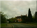
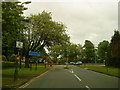
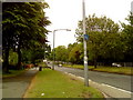
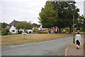
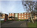
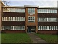
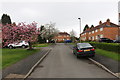
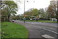
68 photos from this area
Area Information
Key information about the B29 4AY including its size, population, and administrative classification.
- Area Type
- Postcode
- Area Size
- 9924 m²
- Population
- 1933
- Population Density
- 2480 people/km²
House Prices in B29 4AY
25
Properties
£197,039
Average Sold Price
£48,000
Lowest Price
£323,000
Highest Price
Showing 25 properties
| Address | Type | Beds | Baths | Last Sale Price | Last Sale Date | |
|---|---|---|---|---|---|---|
| 33 Witherford Way, Birmingham, B29 4AY | Terraced | 2 | 1 | £323,000 | Aug 2025 | |
| 43 Witherford Way, Birmingham, B29 4AY | house | - | - | £195,000 | Dec 2021 | |
| 9 Witherford Way, Birmingham, B29 4AY | Terraced | 2 | 1 | £241,500 | Sep 2020 | |
| 31 Witherford Way, Birmingham, B29 4AY | Terraced | 2 | 1 | £262,000 | Nov 2018 | |
| 5 Witherford Way, Birmingham, B29 4AY | Terraced | 2 | 1 | £242,000 | May 2017 | |
| 29 Witherford Way, Birmingham, B29 4AY | Terraced | 2 | 1 | £225,000 | Oct 2016 | |
| 47 Witherford Way, Birmingham, B29 4AY | Cottage | 3 | 1 | £295,000 | Oct 2016 | |
| 15 Witherford Way, Birmingham, B29 4AY | Terraced | 3 | - | £249,950 | Aug 2014 | |
| 41 Witherford Way, Birmingham, B29 4AY | Terraced | 2 | - | £170,000 | Oct 2013 | |
| 35 Witherford Way, Birmingham, B29 4AY | house | 3 | - | £242,000 | Aug 2011 |
Page 1 of 3
Energy Efficiency in B29 4AY
Amenities
Schools
| Rank | School | Type | Entry gender | Ages |
|---|
Explore more schools in this area
Go to Schools tabDemographics
Household Size
Family (3-5 people)
most common
Accommodation Type
Houses
most common
Tenure
55
majority
Ethnic Group
White
most common
Religion
N/A
most common
Household Composition
N/A
most common
Age
47
median
Adults (30-64 years)
most common
Household Deprivation
N/A
with no deprivation
NS-SEC
42
in Lower managerial occupations
Explore more demographic insights in this area
Go to Demographics tabPlanning
Planning Constraints
- Flood RiskPremium
- Ramsar Wetland SitesPremium
- Area of Outstanding Natural BeautyPremium
- Protected Nature ReservePremium
- Protected WoodlandPremium