Area Overview for B28 9PE
Photos of B28 9PE
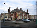
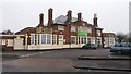
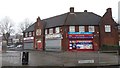
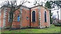
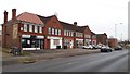
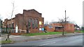
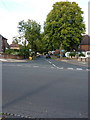
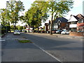
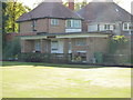
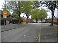
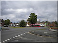
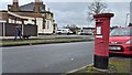
21 photos from this area
Area Information
Key information about the B28 9PE including its size, population, and administrative classification.
- Area Type
- Postcode
- Area Size
- 7774 m²
- Population
- 1922
- Population Density
- 8210 people/km²
House Prices in B28 9PE
25
Properties
£147,675
Average Sold Price
£40,000
Lowest Price
£225,000
Highest Price
Showing 25 properties
| Address | Type | Beds | Baths | Last Sale Price | Last Sale Date | |
|---|---|---|---|---|---|---|
| 116 Arkley Road, Birmingham, B28 9PE | Terraced | 2 | 1 | £205,000 | May 2023 | |
| 106 Arkley Road, Birmingham, B28 9PE | Detached | 3 | 1 | £225,000 | Sep 2022 | |
| 114 Arkley Road, Birmingham, B28 9PE | Semi-detached | 3 | 1 | £215,000 | Apr 2022 | |
| 132 Arkley Road, Birmingham, B28 9PE | house | - | - | £168,000 | Sep 2021 | |
| 81 Arkley Road, Birmingham, B28 9PE | house | - | - | £210,000 | May 2021 | |
| 120 Arkley Road, Birmingham, B28 9PE | Terraced | 2 | 1 | £165,000 | Oct 2020 | |
| 69 Arkley Road, Birmingham, B28 9PE | house | 2 | - | £160,000 | Sep 2020 | |
| 71 Arkley Road, Birmingham, B28 9PE | Terraced | 2 | 1 | £110,000 | Feb 2015 | |
| 112 Arkley Road, Birmingham, B28 9PE | house | 2 | - | £105,000 | Sep 2011 | |
| 73 Arkley Road, Birmingham, B28 9PE | house | - | - | £116,000 | Aug 2009 |
Page 1 of 3
Energy Efficiency in B28 9PE
Amenities
Schools
| Rank | School | Type | Entry gender | Ages |
|---|
Explore more schools in this area
Go to Schools tabDemographics
Household Size
Family (3-5 people)
most common
Accommodation Type
Houses
most common
Tenure
45
majority
Ethnic Group
White
most common
Religion
N/A
most common
Household Composition
N/A
most common
Age
47
median
Adults (30-64 years)
most common
Household Deprivation
N/A
with no deprivation
NS-SEC
18
in Lower managerial occupations
Explore more demographic insights in this area
Go to Demographics tabPlanning
Planning Constraints
- Flood RiskPremium
- Ramsar Wetland SitesPremium
- Area of Outstanding Natural BeautyPremium
- Protected Nature ReservePremium
- Protected WoodlandPremium