Area Overview for B28 9HA
Photos of B28 9HA
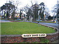
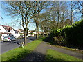
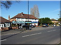
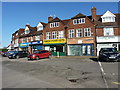
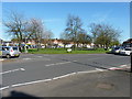
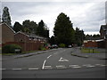
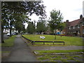


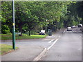
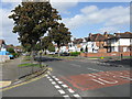
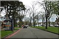
19 photos from this area
Area Information
Key information about the B28 9HA including its size, population, and administrative classification.
- Area Type
- Postcode
- Area Size
- 1.2 hectares
- Population
- 1529
- Population Density
- 6331 people/km²
House Prices in B28 9HA
25
Properties
£236,000
Average Sold Price
£38,000
Lowest Price
£537,500
Highest Price
Showing 25 properties
| Address | Type | Beds | Baths | Last Sale Price | Last Sale Date | |
|---|---|---|---|---|---|---|
| 1532 Stratford Road, Hall Green, Birmingham, B28 9HA | Semi-detached | 5 | 2 | £537,500 | Feb 2025 | |
| 1552A Stratford Road, Hall Green, Birmingham, B28 9HA | Semi-detached | 3 | 1 | £200,000 | May 2020 | |
| 1550 Stratford Road, Hall Green, Birmingham, B28 9HA | house | - | - | £193,500 | May 2007 | |
| 1544 Stratford Road, Hall Green, Birmingham, B28 9HA | Semi-detached | - | - | £325,000 | Jul 2006 | |
| 1538 Stratford Road, Hall Green, Birmingham, B28 9HA | Semi-detached | - | - | £122,000 | Sep 2000 | |
| 1542 Stratford Road, Hall Green, Birmingham, B28 9HA | Terraced | - | - | £38,000 | Feb 1996 | |
| Offices 7 And 9 Over, 1562 Stratford Road, Hall Green, Birmingham, B28 9HA | Office | - | - | - | - | |
| Office 12 Over, 1562 Stratford Road, Hall Green, Birmingham, B28 9HA | Office | - | - | - | - | |
| Offices 13 15 And 16 Over, 1562 Stratford Road, Hall Green, Birmingham, B28 9HA | Office | - | - | - | - | |
| Offices 2 And 3 At, 1562 Stratford Road, Hall Green, Birmingham, B28 9HA | Office | - | - | - | - |
Page 1 of 3
Energy Efficiency in B28 9HA
Amenities
Schools
| Rank | School | Type | Entry gender | Ages |
|---|
Explore more schools in this area
Go to Schools tabDemographics
Household Size
One person
most common
Accommodation Type
Houses
most common
Tenure
77
majority
Ethnic Group
White
most common
Religion
N/A
most common
Household Composition
N/A
most common
Age
47
median
Adults (30-64 years)
most common
Household Deprivation
N/A
with no deprivation
NS-SEC
28
in Lower managerial occupations
Explore more demographic insights in this area
Go to Demographics tabPlanning
Planning Constraints
- Flood RiskPremium
- Ramsar Wetland SitesPremium
- Area of Outstanding Natural BeautyPremium
- Protected Nature ReservePremium
- Protected WoodlandPremium