Area Overview for B28 8RD
Photos of B28 8RD
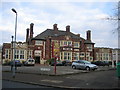
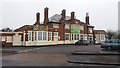
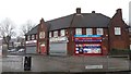
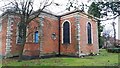
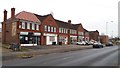
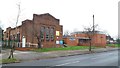
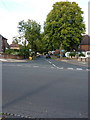
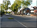
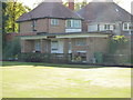
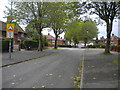
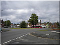
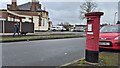
21 photos from this area
Area Information
Key information about the B28 8RD including its size, population, and administrative classification.
- Area Type
- Postcode
- Area Size
- 7199 m²
- Population
- 1832
- Population Density
- 8736 people/km²
House Prices in B28 8RD
24
Properties
£143,444
Average Sold Price
£83,000
Lowest Price
£245,000
Highest Price
Showing 24 properties
| Address | Type | Beds | Baths | Last Sale Price | Last Sale Date | |
|---|---|---|---|---|---|---|
| 320 Lakey Lane, Birmingham, B28 8RD | Terraced | 3 | 1 | £192,000 | Oct 2023 | |
| 306 Lakey Lane, Birmingham, B28 8RD | Retail | 3 | 1 | £245,000 | Jun 2022 | |
| 286 Lakey Lane, Birmingham, B28 8RD | house | 3 | - | £135,000 | Jul 2014 | |
| 300 Lakey Lane, Birmingham, B28 8RD | house | - | - | £120,000 | Nov 2012 | |
| 298 Lakey Lane, Birmingham, B28 8RD | house | 3 | - | £136,000 | Jun 2011 | |
| 284 Lakey Lane, Birmingham, B28 8RD | house | - | - | £130,000 | Dec 2007 | |
| 288 Lakey Lane, Birmingham, B28 8RD | house | - | - | £120,000 | Feb 2007 | |
| 294 Lakey Lane, Birmingham, B28 8RD | house | - | - | £83,000 | Dec 2006 | |
| 302 Lakey Lane, Birmingham, B28 8RD | Terraced | - | - | £130,000 | Nov 2006 | |
| Flat, 328 Lakey Lane, Birmingham, B28 8RD | Flat | - | - | - | - |
Page 1 of 3
Energy Efficiency in B28 8RD
Amenities
Schools
| Rank | School | Type | Entry gender | Ages |
|---|
Explore more schools in this area
Go to Schools tabDemographics
Household Size
Family (3-5 people)
most common
Accommodation Type
Houses
most common
Tenure
47
majority
Ethnic Group
White
most common
Religion
N/A
most common
Household Composition
N/A
most common
Age
47
median
Adults (30-64 years)
most common
Household Deprivation
N/A
with no deprivation
NS-SEC
18
in Lower managerial occupations
Explore more demographic insights in this area
Go to Demographics tabPlanning
Planning Constraints
- Flood RiskPremium
- Ramsar Wetland SitesPremium
- Area of Outstanding Natural BeautyPremium
- Protected Nature ReservePremium
- Protected WoodlandPremium