Area Overview for B28 8PY
Photos of B28 8PY
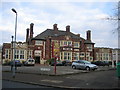
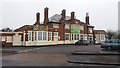
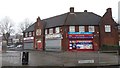
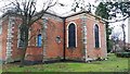
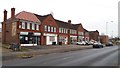
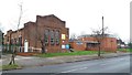
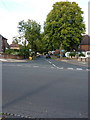
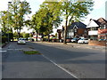
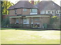
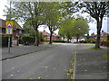
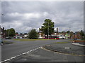
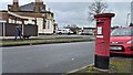
21 photos from this area
Area Information
Key information about the B28 8PY including its size, population, and administrative classification.
- Area Type
- Postcode
- Area Size
- 1.8 hectares
- Population
- 1710
- Population Density
- 6514 people/km²
House Prices in B28 8PY
27
Properties
£179,629
Average Sold Price
£66,000
Lowest Price
£340,000
Highest Price
Showing 27 properties
| Address | Type | Beds | Baths | Last Sale Price | Last Sale Date | |
|---|---|---|---|---|---|---|
| 31 Glaisdale Road, Birmingham, B28 8PY | Detached | 3 | 1 | £325,000 | Dec 2024 | |
| 49 Glaisdale Road, Birmingham, B28 8PY | Semi-detached | 3 | 1 | £340,000 | Feb 2022 | |
| 58 Glaisdale Road, Birmingham, B28 8PY | Semi-detached | 3 | 1 | £244,000 | Jul 2019 | |
| 37 Glaisdale Road, Birmingham, B28 8PY | Semi-detached | 3 | 1 | £240,000 | Jun 2018 | |
| 41 Glaisdale Road, Birmingham, B28 8PY | Semi-detached | 3 | 1 | £231,000 | May 2017 | |
| 35 Glaisdale Road, Birmingham, B28 8PY | Semi-detached | 3 | 1 | £185,000 | Dec 2015 | |
| 70 Glaisdale Road, Birmingham, B28 8PY | house | - | - | £210,000 | Nov 2013 | |
| 72 Glaisdale Road, Birmingham, B28 8PY | house | - | - | £165,000 | Jul 2013 | |
| 39 Glaisdale Road, Birmingham, B28 8PY | house | 3 | - | £180,000 | Feb 2011 | |
| 29 Glaisdale Road, Birmingham, B28 8PY | Detached | - | - | £223,000 | Feb 2008 |
Page 1 of 3
Energy Efficiency in B28 8PY
Amenities
Schools
| Rank | School | Type | Entry gender | Ages |
|---|
Explore more schools in this area
Go to Schools tabDemographics
Household Size
Family (3-5 people)
most common
Accommodation Type
Houses
most common
Tenure
80
majority
Ethnic Group
asian_total
most common
Religion
N/A
most common
Household Composition
N/A
most common
Age
47
median
Adults (30-64 years)
most common
Household Deprivation
N/A
with no deprivation
NS-SEC
30
in Lower managerial occupations
Explore more demographic insights in this area
Go to Demographics tabPlanning
Planning Constraints
- Flood RiskPremium
- Ramsar Wetland SitesPremium
- Area of Outstanding Natural BeautyPremium
- Protected Nature ReservePremium
- Protected WoodlandPremium