Area Overview for B28 0QW
Photos of B28 0QW
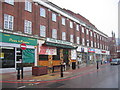
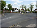
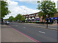
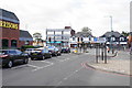
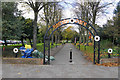
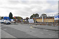
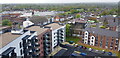
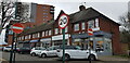
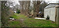
50 photos from this area
Area Information
Key information about the B28 0QW including its size, population, and administrative classification.
- Area Type
- Postcode
- Area Size
- 8324 m²
- Population
- 1711
- Population Density
- 6736 people/km²
House Prices in B28 0QW
25
Properties
£246,047
Average Sold Price
£150,000
Lowest Price
£366,000
Highest Price
Showing 25 properties
| Address | Type | Beds | Baths | Last Sale Price | Last Sale Date | |
|---|---|---|---|---|---|---|
| 149 Stonor Road, Birmingham, B28 0QW | Semi-detached | 3 | 1 | £355,500 | Jan 2024 | |
| 153 Stonor Road, Birmingham, B28 0QW | Detached | 3 | 1 | £340,000 | May 2021 | |
| 151 Stonor Road, Birmingham, B28 0QW | house | - | - | £281,500 | Aug 2020 | |
| 111 Stonor Road, Birmingham, B28 0QW | Semi-detached | 3 | 1 | £261,500 | Feb 2020 | |
| 107 Stonor Road, Birmingham, B28 0QW | house | - | - | £366,000 | Sep 2017 | |
| 133 Stonor Road, Birmingham, B28 0QW | house | - | - | £231,000 | Feb 2017 | |
| 117 Stonor Road, Birmingham, B28 0QW | Semi-detached | 3 | 1 | £237,117 | Dec 2016 | |
| 155 Stonor Road, Birmingham, B28 0QW | house | - | - | £226,000 | Aug 2016 | |
| 109 Stonor Road, Birmingham, B28 0QW | Semi-detached | 3 | - | £220,000 | Apr 2015 | |
| 113 Stonor Road, Birmingham, B28 0QW | Semi-detached | 3 | 1 | £217,500 | Nov 2014 |
Page 1 of 3
Energy Efficiency in B28 0QW
Amenities
Schools
| Rank | School | Type | Entry gender | Ages |
|---|
Explore more schools in this area
Go to Schools tabDemographics
Household Size
Family (3-5 people)
most common
Accommodation Type
Houses
most common
Tenure
80
majority
Ethnic Group
White
most common
Religion
N/A
most common
Household Composition
N/A
most common
Age
47
median
Adults (30-64 years)
most common
Household Deprivation
N/A
with no deprivation
NS-SEC
36
in Lower managerial occupations
Explore more demographic insights in this area
Go to Demographics tabPlanning
Planning Constraints
- Flood RiskPremium
- Ramsar Wetland SitesPremium
- Area of Outstanding Natural BeautyPremium
- Protected Nature ReservePremium
- Protected WoodlandPremium