Area Overview for B28 0BS
Photos of B28 0BS
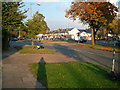

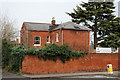
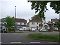
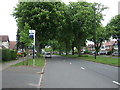
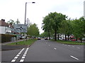
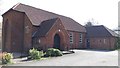
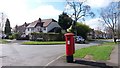
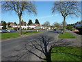
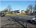
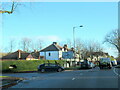
21 photos from this area
Area Information
Key information about the B28 0BS including its size, population, and administrative classification.
- Area Type
- Postcode
- Area Size
- 4167 m²
- Population
- 1909
- Population Density
- 3869 people/km²
House Prices in B28 0BS
7
Properties
£203,190
Average Sold Price
£78,000
Lowest Price
£269,950
Highest Price
Showing 7 properties
| Address | Type | Beds | Baths | Last Sale Price | Last Sale Date | |
|---|---|---|---|---|---|---|
| 207 Highfield Road, Hall Green, Birmingham, B28 0BS | Semi-detached | 3 | 1 | £230,000 | Sep 2024 | |
| 205 Highfield Road, Hall Green, Birmingham, B28 0BS | Semi-detached | 3 | 2 | £269,950 | Nov 2018 | |
| 201 Highfield Road, Hall Green, Birmingham, B28 0BS | house | 5 | - | £268,000 | Jan 2012 | |
| 211 Highfield Road, Hall Green, Birmingham, B28 0BS | house | 3 | - | £170,000 | Mar 2007 | |
| 215 Highfield Road, Hall Green, Birmingham, B28 0BS | Semi-detached | - | - | £78,000 | Jul 1999 | |
| 203 Highfield Road, Hall Green, Birmingham, B28 0BS | Semi-detached | 4 | 2 | - | - | |
| 209 Highfield Road, Hall Green, Birmingham, B28 0BS | house | - | - | - | - |
Energy Efficiency in B28 0BS
Amenities
Schools
| Rank | School | Type | Entry gender | Ages |
|---|
Explore more schools in this area
Go to Schools tabDemographics
Household Size
One person
most common
Accommodation Type
Houses
most common
Tenure
71
majority
Ethnic Group
White
most common
Religion
N/A
most common
Household Composition
N/A
most common
Age
47
median
Adults (30-64 years)
most common
Household Deprivation
N/A
with no deprivation
NS-SEC
35
in Lower managerial occupations
Explore more demographic insights in this area
Go to Demographics tabPlanning
Planning Constraints
- Flood RiskPremium
- Ramsar Wetland SitesPremium
- Area of Outstanding Natural BeautyPremium
- Protected Nature ReservePremium
- Protected WoodlandPremium