Area Overview for B27 7NG
Photos of B27 7NG
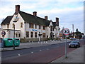
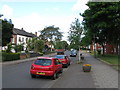
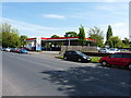

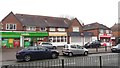
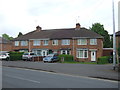
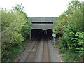
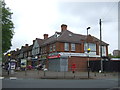
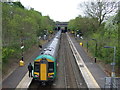
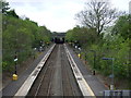
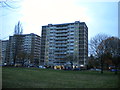
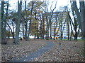
27 photos from this area
Area Information
Key information about the B27 7NG including its size, population, and administrative classification.
- Area Type
- Postcode
- Area Size
- 1.8 hectares
- Population
- 1652
- Population Density
- 6737 people/km²
House Prices in B27 7NG
53
Properties
£197,611
Average Sold Price
£58,000
Lowest Price
£507,500
Highest Price
Showing 53 properties
| Address | Type | Beds | Baths | Last Sale Price | Last Sale Date | |
|---|---|---|---|---|---|---|
| 84 Olton Boulevard East, Birmingham, B27 7NG | Detached | 5 | 3 | £507,500 | Mar 2025 | |
| 42 Olton Boulevard East, Birmingham, B27 7NG | house | - | - | £240,000 | Jul 2023 | |
| 88 Olton Boulevard East, Birmingham, B27 7NG | Retail | 4 | 1 | £400,000 | Nov 2021 | |
| 68 Olton Boulevard East, Birmingham, B27 7NG | house | - | - | £348,000 | Oct 2021 | |
| 46 Olton Boulevard East, Birmingham, B27 7NG | house | - | - | £270,000 | Mar 2021 | |
| 36 Olton Boulevard East, Birmingham, B27 7NG | Semi-detached | 4 | 2 | £315,000 | Sep 2019 | |
| 64 Olton Boulevard East, Birmingham, B27 7NG | house | - | - | £250,000 | Nov 2017 | |
| 86 Olton Boulevard East, Birmingham, B27 7NG | house | 3 | 1 | £170,000 | Feb 2016 | |
| 58 Olton Boulevard East, Birmingham, B27 7NG | Semi-detached | 4 | - | £250,000 | Oct 2015 | |
| 32 Olton Boulevard East, Birmingham, B27 7NG | Semi-detached | 5 | - | £253,000 | Mar 2015 |
Page 1 of 6
Energy Efficiency in B27 7NG
Amenities
Schools
| Rank | School | Type | Entry gender | Ages |
|---|
Explore more schools in this area
Go to Schools tabDemographics
Household Size
One person
most common
Accommodation Type
Houses
most common
Tenure
40
majority
Ethnic Group
White
most common
Religion
N/A
most common
Household Composition
N/A
most common
Age
47
median
Adults (30-64 years)
most common
Household Deprivation
N/A
with no deprivation
NS-SEC
17
in Lower managerial occupations
Explore more demographic insights in this area
Go to Demographics tabPlanning
Planning Constraints
- Flood RiskPremium
- Ramsar Wetland SitesPremium
- Area of Outstanding Natural BeautyPremium
- Protected Nature ReservePremium
- Protected WoodlandPremium