Area Overview for B27 7LJ
Photos of B27 7LJ
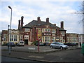
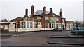
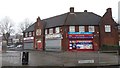
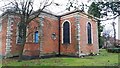
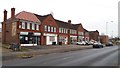
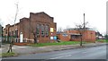
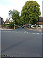
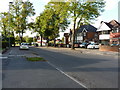
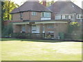
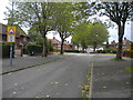
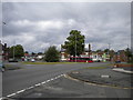
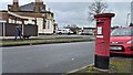
21 photos from this area
Area Information
Key information about the B27 7LJ including its size, population, and administrative classification.
- Area Type
- Postcode
- Area Size
- 1.1 hectares
- Population
- 1832
- Population Density
- 8736 people/km²
House Prices in B27 7LJ
40
Properties
£131,154
Average Sold Price
£15,200
Lowest Price
£230,000
Highest Price
Showing 40 properties
| Address | Type | Beds | Baths | Last Sale Price | Last Sale Date | |
|---|---|---|---|---|---|---|
| 79 Gospel Farm Road, Birmingham, B27 7LJ | house | - | - | £130,000 | May 2025 | |
| 67 Gospel Farm Road, Birmingham, B27 7LJ | Terraced | 2 | 1 | £186,000 | Feb 2024 | |
| 51 Gospel Farm Road, Birmingham, B27 7LJ | Terraced | 3 | 1 | £212,000 | Aug 2023 | |
| 72 Gospel Farm Road, Birmingham, B27 7LJ | Terraced | 3 | 2 | £230,000 | Mar 2022 | |
| 78 Gospel Farm Road, Birmingham, B27 7LJ | Terraced | 3 | 1 | £185,000 | Feb 2022 | |
| 55 Gospel Farm Road, Birmingham, B27 7LJ | Terraced | 3 | 1 | £192,500 | Feb 2022 | |
| 74 Gospel Farm Road, Birmingham, B27 7LJ | house | - | - | £171,000 | Feb 2021 | |
| 68 Gospel Farm Road, Birmingham, B27 7LJ | Terraced | 3 | 2 | £179,000 | Nov 2020 | |
| 82 Gospel Farm Road, Birmingham, B27 7LJ | Terraced | 3 | 1 | £190,000 | Oct 2020 | |
| 83 Gospel Farm Road, Birmingham, B27 7LJ | Terraced | 3 | 1 | £178,000 | May 2020 |
Page 1 of 4
Energy Efficiency in B27 7LJ
Amenities
Schools
| Rank | School | Type | Entry gender | Ages |
|---|
Explore more schools in this area
Go to Schools tabDemographics
Household Size
Family (3-5 people)
most common
Accommodation Type
Houses
most common
Tenure
47
majority
Ethnic Group
White
most common
Religion
N/A
most common
Household Composition
N/A
most common
Age
47
median
Adults (30-64 years)
most common
Household Deprivation
N/A
with no deprivation
NS-SEC
18
in Lower managerial occupations
Explore more demographic insights in this area
Go to Demographics tabPlanning
Planning Constraints
- Flood RiskPremium
- Ramsar Wetland SitesPremium
- Area of Outstanding Natural BeautyPremium
- Protected Nature ReservePremium
- Protected WoodlandPremium