Area Overview for B27 7HB
Photos of B27 7HB
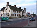
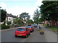
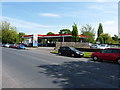
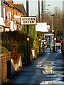
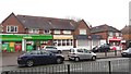
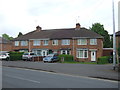
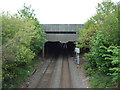
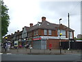
27 photos from this area
Area Information
Key information about the B27 7HB including its size, population, and administrative classification.
- Area Type
- Postcode
- Area Size
- 4.3 hectares
- Population
- 1799
- Population Density
- 5641 people/km²
House Prices in B27 7HB
51
Properties
£105,919
Average Sold Price
£44,000
Lowest Price
£177,000
Highest Price
Showing 51 properties
| Address | Type | Beds | Baths | Last Sale Price | Last Sale Date | |
|---|---|---|---|---|---|---|
| 44 Pool Farm Road, Birmingham, B27 7HB | Terraced | 3 | 1 | £177,000 | Sep 2021 | |
| 22 Pool Farm Road, Birmingham, B27 7HB | house | 2 | 1 | £150,000 | Nov 2018 | |
| 67 Pool Farm Road, Birmingham, B27 7HB | Terraced | 3 | - | £120,000 | Feb 2016 | |
| 28 Pool Farm Road, Birmingham, B27 7HB | Terraced | 3 | - | £110,000 | Jan 2016 | |
| 9 Pool Farm Road, Birmingham, B27 7HB | Terraced | 3 | 1 | £114,000 | Sep 2015 | |
| 54 Pool Farm Road, Birmingham, B27 7HB | house | - | - | £115,000 | Aug 2013 | |
| 26 Pool Farm Road, Birmingham, B27 7HB | Semi-detached | - | - | £124,950 | Jun 2006 | |
| 15 Pool Farm Road, Birmingham, B27 7HB | house | - | - | £110,000 | Nov 2005 | |
| 55 Pool Farm Road, Birmingham, B27 7HB | house | - | - | £100,000 | Jun 2005 | |
| 73 Pool Farm Road, Birmingham, B27 7HB | house | - | - | £70,000 | Oct 2004 |
Page 1 of 6
Energy Efficiency in B27 7HB
Amenities
Schools
| Rank | School | Type | Entry gender | Ages |
|---|
Explore more schools in this area
Go to Schools tabDemographics
Household Size
Family (3-5 people)
most common
Accommodation Type
Houses
most common
Tenure
47
majority
Ethnic Group
White
most common
Religion
N/A
most common
Household Composition
N/A
most common
Age
47
median
Adults (30-64 years)
most common
Household Deprivation
N/A
with no deprivation
NS-SEC
14
in Lower managerial occupations
Explore more demographic insights in this area
Go to Demographics tabPlanning
Planning Constraints
- Flood RiskPremium
- Ramsar Wetland SitesPremium
- Area of Outstanding Natural BeautyPremium
- Protected Nature ReservePremium
- Protected WoodlandPremium