Area Overview for B26 3YL
Photos of B26 3YL
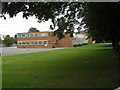
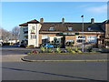
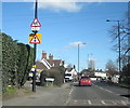
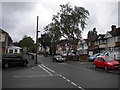
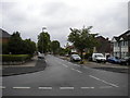
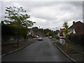
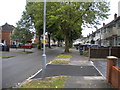
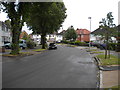
66 photos from this area
Area Information
Key information about the B26 3YL including its size, population, and administrative classification.
- Area Type
- Postcode
- Area Size
- 1.9 hectares
- Population
- 1946
- Population Density
- 6653 people/km²
House Prices in B26 3YL
55
Properties
£150,766
Average Sold Price
£48,000
Lowest Price
£325,000
Highest Price
Showing 55 properties
| Address | Type | Beds | Baths | Last Sale Price | Last Sale Date | |
|---|---|---|---|---|---|---|
| 25 Collingdon Avenue, Birmingham, B26 3YL | Detached | 2 | 1 | £220,000 | Oct 2025 | |
| 57 Collingdon Avenue, Birmingham, B26 3YL | Detached | 4 | 1 | £325,000 | Feb 2025 | |
| 7 Collingdon Avenue, Birmingham, B26 3YL | house | - | - | £209,950 | Jul 2024 | |
| 44 Collingdon Avenue, Birmingham, B26 3YL | Detached | 3 | 1 | £240,000 | Mar 2024 | |
| 19 Collingdon Avenue, Birmingham, B26 3YL | house | - | - | £150,000 | Jul 2023 | |
| 23 Collingdon Avenue, Birmingham, B26 3YL | Semi-detached | 2 | 1 | £185,000 | May 2023 | |
| 46 Collingdon Avenue, Birmingham, B26 3YL | house | - | - | £217,000 | Dec 2021 | |
| 53 Collingdon Avenue, Birmingham, B26 3YL | Semi-detached | 3 | 2 | £238,500 | Nov 2021 | |
| 28 Collingdon Avenue, Birmingham, B26 3YL | house | - | - | £213,000 | Aug 2021 | |
| 9 Collingdon Avenue, Birmingham, B26 3YL | Semi-detached | 2 | - | £171,000 | Apr 2021 |
Page 1 of 6
Energy Efficiency in B26 3YL
Amenities
Schools
| Rank | School | Type | Entry gender | Ages |
|---|
Explore more schools in this area
Go to Schools tabDemographics
Household Size
Family (3-5 people)
most common
Accommodation Type
Houses
most common
Tenure
62
majority
Ethnic Group
White
most common
Religion
N/A
most common
Household Composition
N/A
most common
Age
47
median
Adults (30-64 years)
most common
Household Deprivation
N/A
with no deprivation
NS-SEC
19
in Lower managerial occupations
Explore more demographic insights in this area
Go to Demographics tabPlanning
Planning Constraints
- Flood RiskPremium
- Ramsar Wetland SitesPremium
- Area of Outstanding Natural BeautyPremium
- Protected Nature ReservePremium
- Protected WoodlandPremium