Area Overview for B26 3UN
Photos of B26 3UN
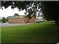
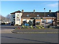
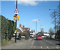
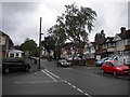
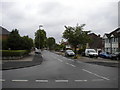
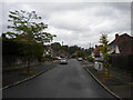
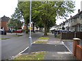
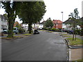
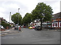
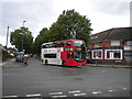
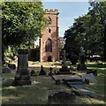
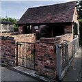
66 photos from this area
Area Information
Key information about the B26 3UN including its size, population, and administrative classification.
- Area Type
- Postcode
- Area Size
- 7189 m²
- Population
- 1537
- Population Density
- 2158 people/km²
House Prices in B26 3UN
23
Properties
£152,800
Average Sold Price
£39,150
Lowest Price
£280,000
Highest Price
Showing 23 properties
| Address | Type | Beds | Baths | Last Sale Price | Last Sale Date | |
|---|---|---|---|---|---|---|
| 119 Berryfield Road, Birmingham, B26 3UN | Semi-detached | 3 | 2 | £280,000 | Feb 2023 | |
| 89 Berryfield Road, Birmingham, B26 3UN | Semi-detached | 2 | 1 | £155,000 | Nov 2018 | |
| 97 Berryfield Road, Birmingham, B26 3UN | house | - | - | £179,250 | Jun 2017 | |
| 91 Berryfield Road, Birmingham, B26 3UN | Semi-detached | 2 | 1 | £153,000 | Jun 2017 | |
| 85 Berryfield Road, Birmingham, B26 3UN | Semi-detached | 2 | 1 | £142,750 | Aug 2016 | |
| 93 Berryfield Road, Birmingham, B26 3UN | Semi-detached | 2 | - | £135,000 | Feb 2015 | |
| 83 Berryfield Road, Birmingham, B26 3UN | house | - | - | £105,000 | Apr 2010 | |
| 99 Berryfield Road, Birmingham, B26 3UN | Semi-detached | - | - | £160,000 | Sep 2008 | |
| 127 Berryfield Road, Birmingham, B26 3UN | house | - | - | £161,500 | Jun 2007 | |
| 121 Berryfield Road, Birmingham, B26 3UN | Semi-detached | 4 | 1 | £164,950 | Feb 2007 |
Page 1 of 3
Energy Efficiency in B26 3UN
Amenities
Schools
| Rank | School | Type | Entry gender | Ages |
|---|
Explore more schools in this area
Go to Schools tabDemographics
Household Size
Two person
most common
Accommodation Type
Houses
most common
Tenure
87
majority
Ethnic Group
White
most common
Religion
N/A
most common
Household Composition
N/A
most common
Age
47
median
Adults (30-64 years)
most common
Household Deprivation
N/A
with no deprivation
NS-SEC
29
in Lower managerial occupations
Explore more demographic insights in this area
Go to Demographics tabPlanning
Planning Constraints
- Flood RiskPremium
- Ramsar Wetland SitesPremium
- Area of Outstanding Natural BeautyPremium
- Protected Nature ReservePremium
- Protected WoodlandPremium