Area Overview for B26 3QS
Photos of B26 3QS
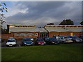


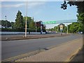
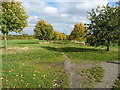
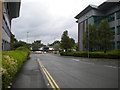

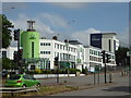
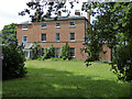
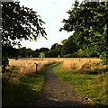
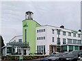

33 photos from this area
Area Information
Key information about the B26 3QS including its size, population, and administrative classification.
- Area Type
- Postcode
- Area Size
- 32.4 hectares
- Population
- 1661
- Population Density
- 137 people/km²
House Prices in B26 3QS
10
Properties
£8,075,000
Average Sold Price
£150,000
Lowest Price
£16,000,000
Highest Price
Showing 10 properties
| Address | Type | Beds | Baths | Last Sale Price | Last Sale Date | |
|---|---|---|---|---|---|---|
| 12 Coventry Road, Solihull, B26 3QS | house | - | - | £150,000 | Jul 2024 | |
| Farmhouse At, Village Farm, Coventry Road, Solihull, B26 3QS | Detached | - | - | £16,000,000 | Jul 2021 | |
| Rosendale Cottage, Coventry Road, Solihull, B26 3QS | Retail | 2 | 1 | - | - | |
| Caravan At, Village Farm, Coventry Road, Solihull, B26 3QS | Mobile Home | - | - | - | - | |
| Conifer Cottage Bed & Breakfast, Cottage 2, 10 Coventry Road, Solihull, B26 3QS | hotel | - | - | - | - | |
| Daybreaks Trust, Cottage 1, 10 Coventry Road, Solihull, B26 3QS | hotel | - | - | - | - | |
| Starbucks Drive Thru Coffee Shop, Coventry Road, Solihull, B26 3QS | Restaurant | - | - | - | - | |
| Birmingham Airport Petrol Filling Station, Coventry Road, Solihull, B26 3QS | retail_financial | - | - | - | - | |
| 9 Coventry Road, Solihull, B26 3QS | Semi-detached | - | - | - | - | |
| Elmdon Hall Lodge, Coventry Road, Solihull, B26 3QS | retail_financial | - | - | - | - |
Energy Efficiency in B26 3QS
Amenities
Schools
| Rank | School | Type | Entry gender | Ages |
|---|
Explore more schools in this area
Go to Schools tabDemographics
Household Size
Family (3-5 people)
most common
Accommodation Type
Houses
most common
Tenure
83
majority
Ethnic Group
White
most common
Religion
N/A
most common
Household Composition
N/A
most common
Age
47
median
Adults (30-64 years)
most common
Household Deprivation
N/A
with no deprivation
NS-SEC
33
in Lower managerial occupations
Explore more demographic insights in this area
Go to Demographics tabPlanning
Planning Constraints
- Flood RiskPremium
- Ramsar Wetland SitesPremium
- Area of Outstanding Natural BeautyPremium
- Protected Nature ReservePremium
- Protected WoodlandPremium