Area Overview for B26 3LE
Photos of B26 3LE
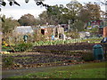


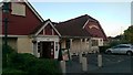
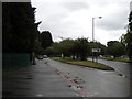
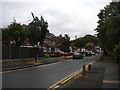
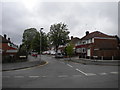
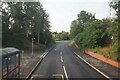
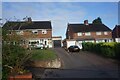
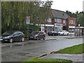
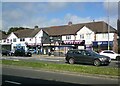
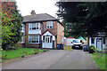
47 photos from this area
Area Information
Key information about the B26 3LE including its size, population, and administrative classification.
- Area Type
- Postcode
- Area Size
- 1.3 hectares
- Population
- 1550
- Population Density
- 6232 people/km²
House Prices in B26 3LE
40
Properties
£152,454
Average Sold Price
£10,000
Lowest Price
£312,000
Highest Price
Showing 40 properties
| Address | Type | Beds | Baths | Last Sale Price | Last Sale Date | |
|---|---|---|---|---|---|---|
| 131 Goldthorne Avenue, Birmingham, B26 3LE | Semi-detached | 3 | 1 | £312,000 | Aug 2025 | |
| 125 Goldthorne Avenue, Birmingham, B26 3LE | house | - | - | £264,000 | Jun 2025 | |
| 141 Goldthorne Avenue, Birmingham, B26 3LE | Detached | 3 | 1 | £245,000 | May 2025 | |
| 68 Goldthorne Avenue, Birmingham, B26 3LE | house | - | - | £10,000 | Mar 2025 | |
| 64 Goldthorne Avenue, Birmingham, B26 3LE | house | - | - | £250,000 | Jun 2021 | |
| 123 Goldthorne Avenue, Birmingham, B26 3LE | Semi-detached | 3 | 1 | £205,000 | Sep 2020 | |
| 137 Goldthorne Avenue, Birmingham, B26 3LE | Semi-detached | 3 | 1 | £205,000 | Jun 2020 | |
| 60 Goldthorne Avenue, Birmingham, B26 3LE | Semi-detached | - | - | £135,000 | Mar 2019 | |
| 66 Goldthorne Avenue, Birmingham, B26 3LE | Semi-detached | 3 | 1 | £200,000 | Jan 2018 | |
| 76 Goldthorne Avenue, Birmingham, B26 3LE | Terraced | 3 | 1 | £175,000 | Nov 2017 |
Page 1 of 4
Energy Efficiency in B26 3LE
Amenities
Schools
| Rank | School | Type | Entry gender | Ages |
|---|
Explore more schools in this area
Go to Schools tabDemographics
Household Size
Family (3-5 people)
most common
Accommodation Type
Houses
most common
Tenure
84
majority
Ethnic Group
White
most common
Religion
N/A
most common
Household Composition
N/A
most common
Age
47
median
Adults (30-64 years)
most common
Household Deprivation
N/A
with no deprivation
NS-SEC
30
in Lower managerial occupations
Explore more demographic insights in this area
Go to Demographics tabPlanning
Planning Constraints
- Flood RiskPremium
- Ramsar Wetland SitesPremium
- Area of Outstanding Natural BeautyPremium
- Protected Nature ReservePremium
- Protected WoodlandPremium