Area Overview for B26 2UB
Photos of B26 2UB
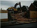

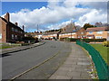
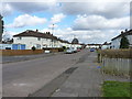
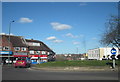
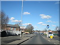

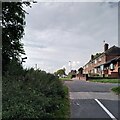
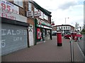
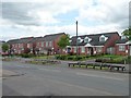

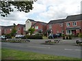
40 photos from this area
Area Information
Key information about the B26 2UB including its size, population, and administrative classification.
- Area Type
- Postcode
- Area Size
- 6373 m²
- Population
- 1946
- Population Density
- 6653 people/km²
House Prices in B26 2UB
13
Properties
£192,599
Average Sold Price
£154,995
Lowest Price
£220,000
Highest Price
Showing 13 properties
| Address | Type | Beds | Baths | Last Sale Price | Last Sale Date | |
|---|---|---|---|---|---|---|
| 329 Sheldon Heath Road, Stechford And Yardley North, Birmingham, B26 2UB | Semi-detached | 3 | 1 | £205,000 | Sep 2021 | |
| 331 Sheldon Heath Road, Stechford And Yardley North, Birmingham, B26 2UB | Detached | 2 | 3 | £193,000 | Jun 2020 | |
| 343 Sheldon Heath Road, Sheldon, Birmingham, B26 2UB | Semi-detached | 4 | - | £220,000 | Jul 2015 | |
| 345 Sheldon Heath Road, Sheldon, Birmingham, B26 2UB | house | - | - | £154,995 | Aug 2014 | |
| 391A Sheldon Heath Road, Stechford And Yardley North, Birmingham, B26 2UB | Detached | - | - | £190,000 | May 2007 | |
| Flat, 395 Sheldon Heath Road, Stechford And Yardley North, Birmingham, B26 2UB | Flat | - | - | - | - | |
| 393A Sheldon Heath Road, Stechford And Yardley North, Birmingham, B26 2UB | Flat | - | - | - | - | |
| Pizza Bank, 391 Sheldon Heath Road, Stechford And Yardley North, Birmingham, B26 2UB | Retail | - | - | - | - | |
| Flat, 397 Sheldon Heath Road, Stechford And Yardley North, Birmingham, B26 2UB | Flat | - | - | - | - | |
| First Floor Flat, 401 Sheldon Heath Road, Stechford And Yardley North, Birmingham, B26 2UB | Flat | - | - | - | - |
Page 1 of 2
Energy Efficiency in B26 2UB
Amenities
Schools
| Rank | School | Type | Entry gender | Ages |
|---|
Explore more schools in this area
Go to Schools tabDemographics
Household Size
Family (3-5 people)
most common
Accommodation Type
Houses
most common
Tenure
62
majority
Ethnic Group
White
most common
Religion
N/A
most common
Household Composition
N/A
most common
Age
47
median
Adults (30-64 years)
most common
Household Deprivation
N/A
with no deprivation
NS-SEC
19
in Lower managerial occupations
Explore more demographic insights in this area
Go to Demographics tabPlanning
Planning Constraints
- Flood RiskPremium
- Ramsar Wetland SitesPremium
- Area of Outstanding Natural BeautyPremium
- Protected Nature ReservePremium
- Protected WoodlandPremium