Area Overview for B26 2LN
Photos of B26 2LN
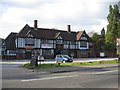
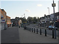
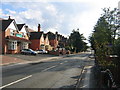
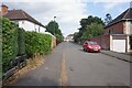
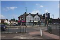
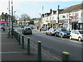
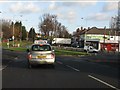
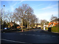
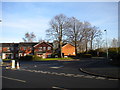
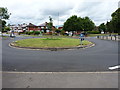

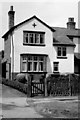
15 photos from this area
Area Information
Key information about the B26 2LN including its size, population, and administrative classification.
- Area Type
- Postcode
- Area Size
- 7250 m²
- Population
- 1461
- Population Density
- 6292 people/km²
House Prices in B26 2LN
26
Properties
£136,674
Average Sold Price
£46,000
Lowest Price
£265,000
Highest Price
Showing 26 properties
| Address | Type | Beds | Baths | Last Sale Price | Last Sale Date | |
|---|---|---|---|---|---|---|
| 100 Charlbury Crescent, Birmingham, B26 2LN | Semi-detached | 3 | 1 | £265,000 | Apr 2023 | |
| 86 Charlbury Crescent, Birmingham, B26 2LN | Semi-detached | 3 | 1 | £180,000 | Jul 2022 | |
| 98 Charlbury Crescent, Birmingham, B26 2LN | Semi-detached | 3 | - | £220,000 | Jun 2021 | |
| 79 Charlbury Crescent, Birmingham, B26 2LN | house | - | - | £195,000 | May 2021 | |
| 88 Charlbury Crescent, Birmingham, B26 2LN | Semi-detached | 3 | 1 | £195,000 | Feb 2021 | |
| 94 Charlbury Crescent, Birmingham, B26 2LN | Detached | 3 | 1 | £180,000 | Nov 2018 | |
| 92 Charlbury Crescent, Birmingham, B26 2LN | Semi-detached | 3 | 1 | £135,000 | Feb 2015 | |
| 85 Charlbury Crescent, Birmingham, B26 2LN | Semi-detached | 3 | 2 | £135,000 | Aug 2011 | |
| 87 Charlbury Crescent, Birmingham, B26 2LN | Semi-detached | - | - | £159,000 | Feb 2008 | |
| 104 Charlbury Crescent, Birmingham, B26 2LN | Semi-detached | 3 | 1 | £149,950 | Feb 2008 |
Page 1 of 3
Energy Efficiency in B26 2LN
Amenities
Schools
| Rank | School | Type | Entry gender | Ages |
|---|
Explore more schools in this area
Go to Schools tabDemographics
Household Size
Family (3-5 people)
most common
Accommodation Type
Houses
most common
Tenure
84
majority
Ethnic Group
White
most common
Religion
N/A
most common
Household Composition
N/A
most common
Age
47
median
Adults (30-64 years)
most common
Household Deprivation
N/A
with no deprivation
NS-SEC
28
in Lower managerial occupations
Explore more demographic insights in this area
Go to Demographics tabPlanning
Planning Constraints
- Flood RiskPremium
- Ramsar Wetland SitesPremium
- Area of Outstanding Natural BeautyPremium
- Protected Nature ReservePremium
- Protected WoodlandPremium