Area Overview for B26 2LE
Photos of B26 2LE
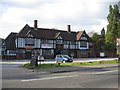
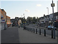
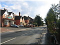
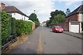
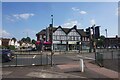
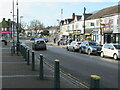
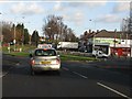
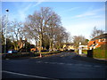
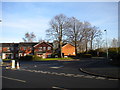
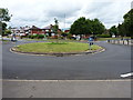
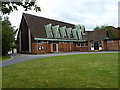
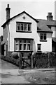
15 photos from this area
Area Information
Key information about the B26 2LE including its size, population, and administrative classification.
- Area Type
- Postcode
- Area Size
- 5578 m²
- Population
- 1461
- Population Density
- 6292 people/km²
House Prices in B26 2LE
17
Properties
£164,883
Average Sold Price
£115,000
Lowest Price
£339,000
Highest Price
Showing 17 properties
| Address | Type | Beds | Baths | Last Sale Price | Last Sale Date | |
|---|---|---|---|---|---|---|
| 86 Bilton Grange Road, Birmingham, B26 2LE | house | - | - | £339,000 | Jul 2022 | |
| 82 Bilton Grange Road, Birmingham, B26 2LE | Semi-detached | 3 | 1 | £184,950 | May 2018 | |
| 58 Bilton Grange Road, Birmingham, B26 2LE | Semi-detached | 3 | - | £147,000 | Jan 2018 | |
| 60 Bilton Grange Road, Birmingham, B26 2LE | Semi-detached | 3 | - | £144,000 | Jun 2016 | |
| 84 Bilton Grange Road, Birmingham, B26 2LE | house | 3 | - | £135,000 | Feb 2015 | |
| 72 Bilton Grange Road, Birmingham, B26 2LE | house | - | - | £115,000 | Feb 2013 | |
| 80 Bilton Grange Road, Birmingham, B26 2LE | Semi-detached | 3 | 1 | £124,000 | Dec 2010 | |
| 68 Bilton Grange Road, Birmingham, B26 2LE | house | - | - | £115,000 | Jul 2009 | |
| 54 Bilton Grange Road, Birmingham, B26 2LE | Detached | 5 | - | £180,000 | Sep 2004 | |
| 78 Bilton Grange Road, Birmingham, B26 2LE | Detached | 3 | 1 | - | - |
Page 1 of 2
Energy Efficiency in B26 2LE
Amenities
Schools
| Rank | School | Type | Entry gender | Ages |
|---|
Explore more schools in this area
Go to Schools tabDemographics
Household Size
Family (3-5 people)
most common
Accommodation Type
Houses
most common
Tenure
84
majority
Ethnic Group
White
most common
Religion
N/A
most common
Household Composition
N/A
most common
Age
47
median
Adults (30-64 years)
most common
Household Deprivation
N/A
with no deprivation
NS-SEC
28
in Lower managerial occupations
Explore more demographic insights in this area
Go to Demographics tabPlanning
Planning Constraints
- Flood RiskPremium
- Ramsar Wetland SitesPremium
- Area of Outstanding Natural BeautyPremium
- Protected Nature ReservePremium
- Protected WoodlandPremium